The Long-White-Cloud Spectacular__NZ South Island 2012

glitch

Mapping the next ride...
Staff member
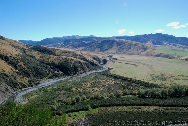
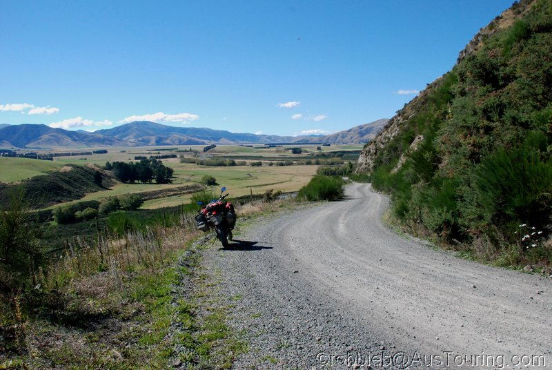
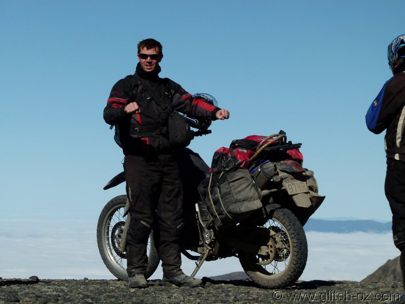
“You shoulda seen this, mate, I tellya...”
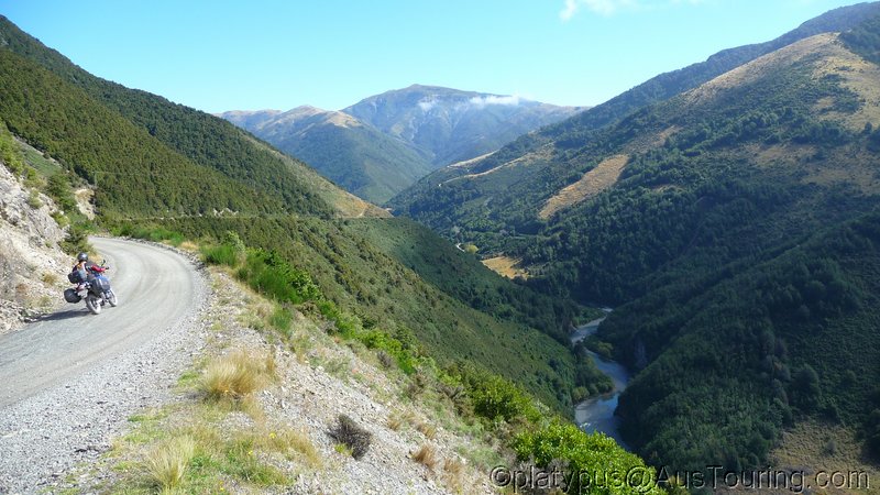
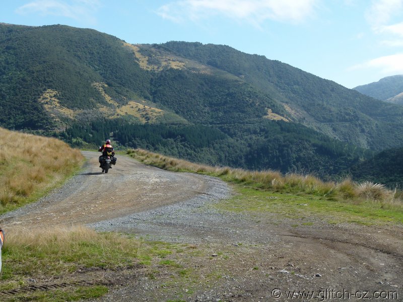
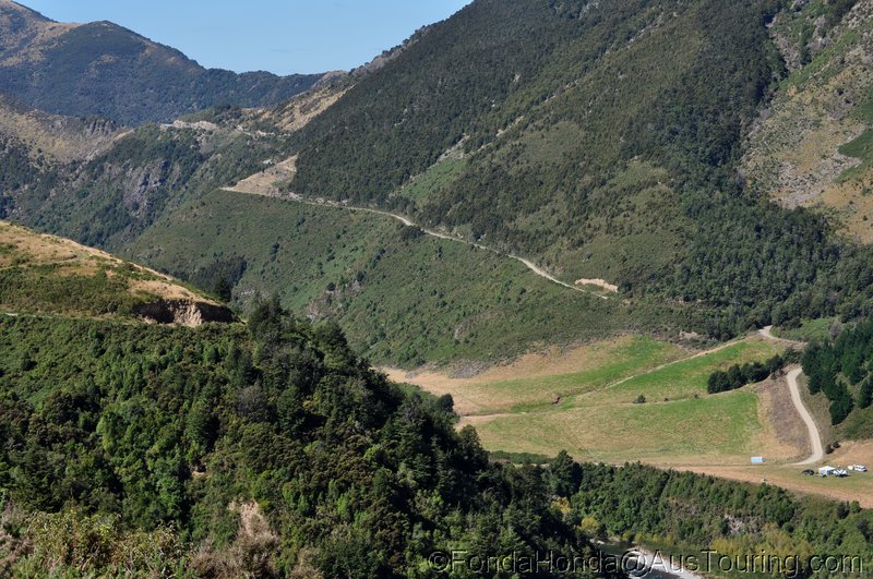
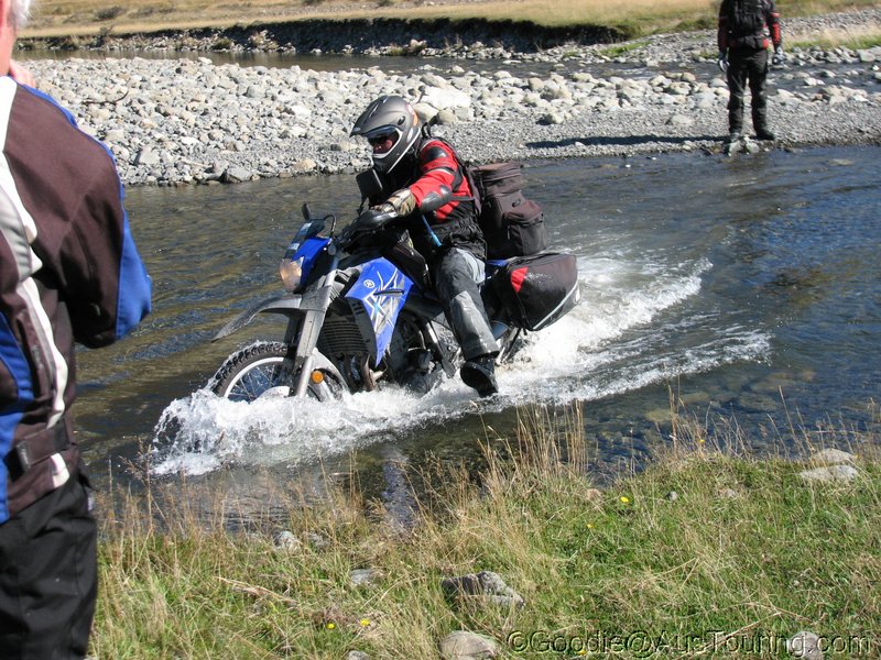
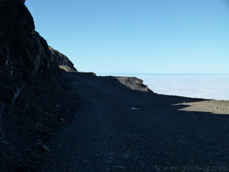


NZ_SI_2012_1032.JPG


Back down again.


NZ_SI_2012_1033.JPG


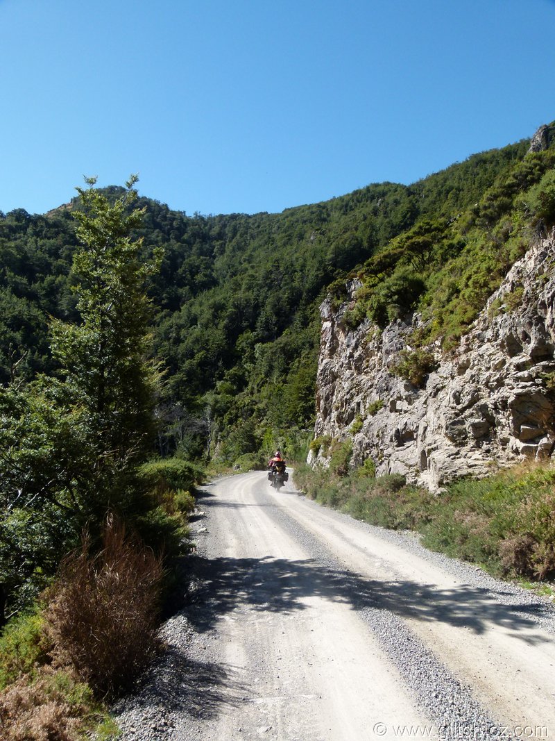
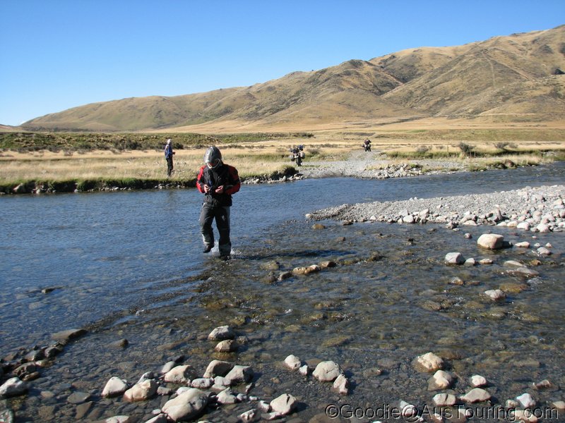
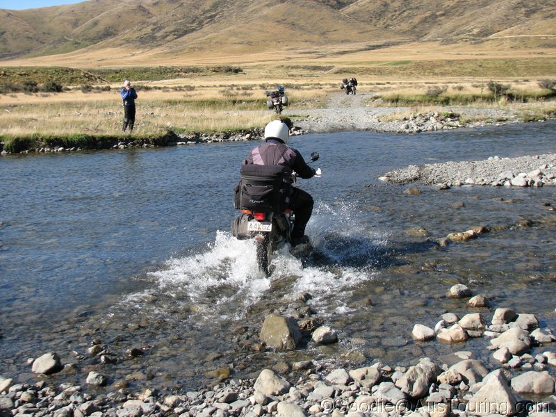
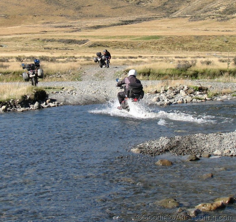
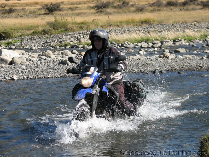
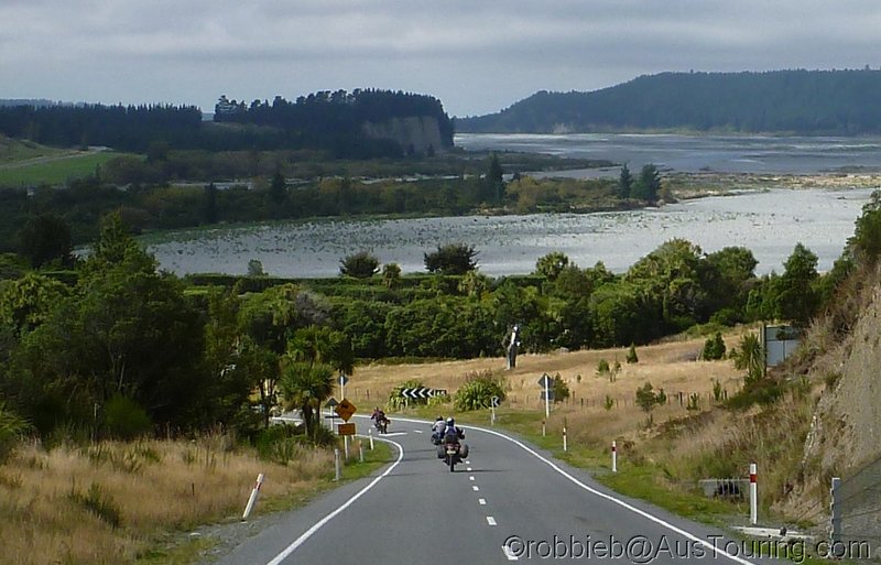
Back into the muck...


NZ_SI_2012_1034.JPG


NZ_SI_2012_1036.JPG


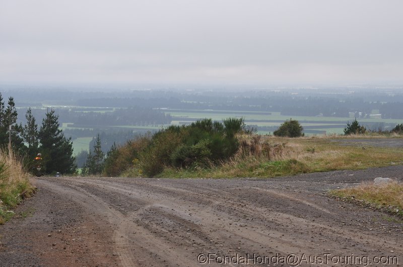
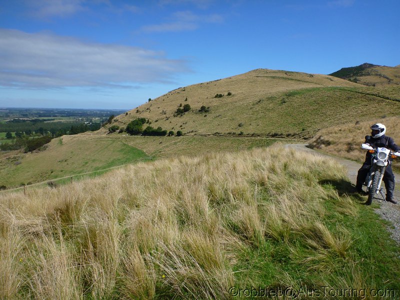
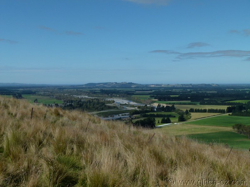
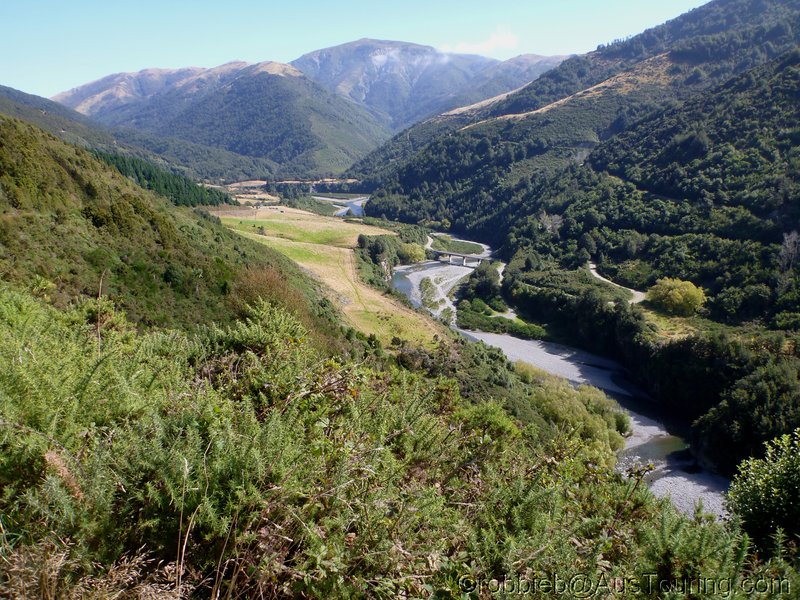
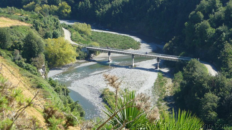
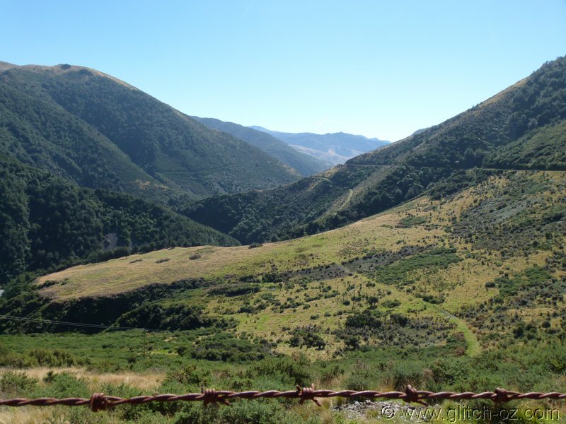
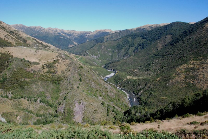
Heading north towards Sheffield and Oxford, skimming along the bottom edge of the Plains.


NZ_SI_2012_1037.JPG


NZ_SI_2012_1038.JPG


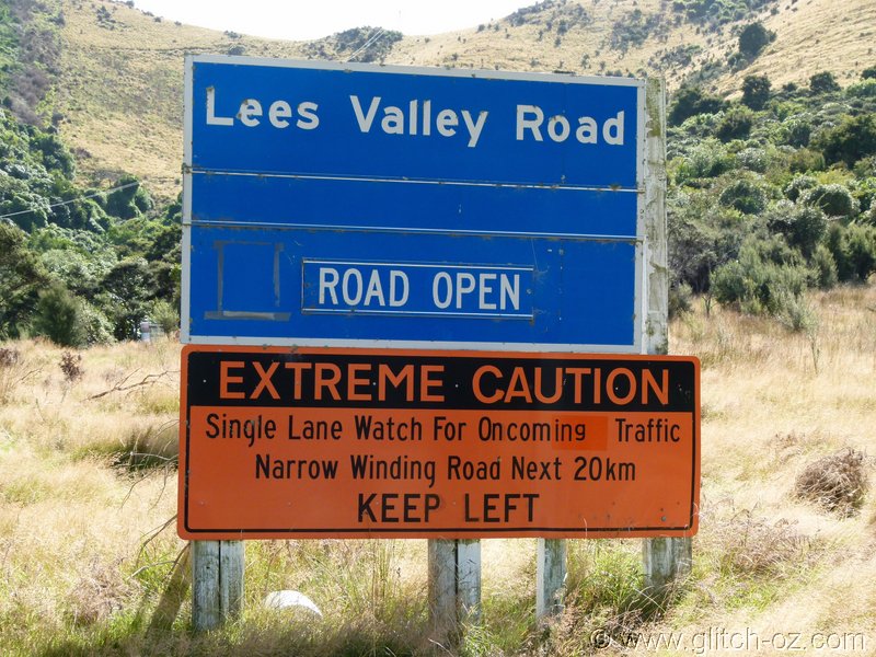
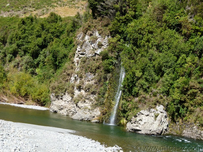
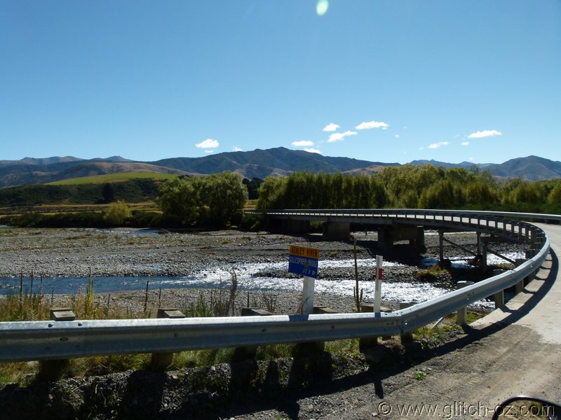
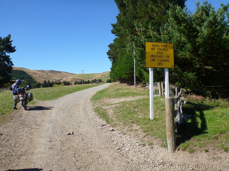
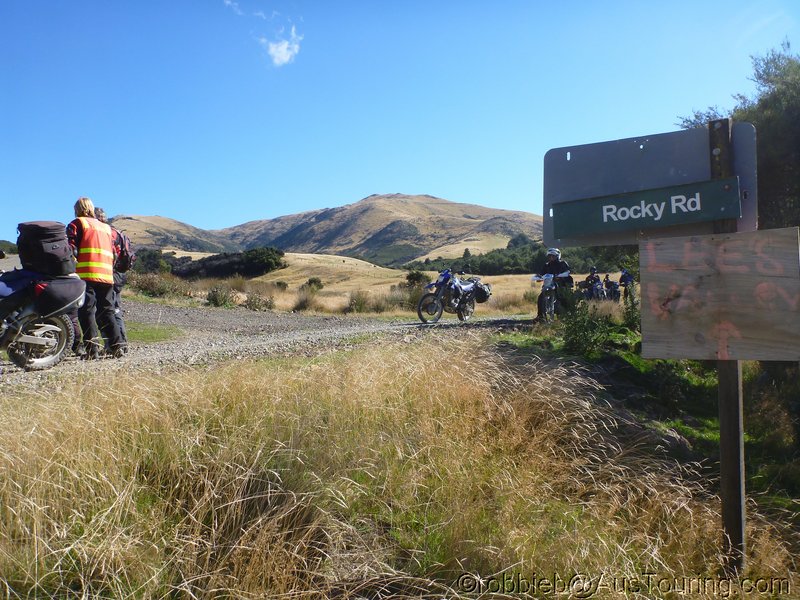
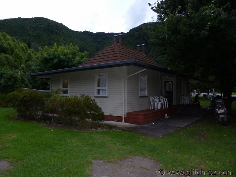
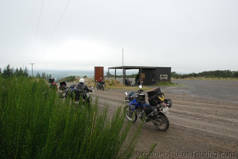
Going for some of those venison-pies (yayy!!) in Oxford, the maps come out again. Staying just up the road at the Camp in Ashley Gorge, we could give the Lees Valley a whirl this arvo.

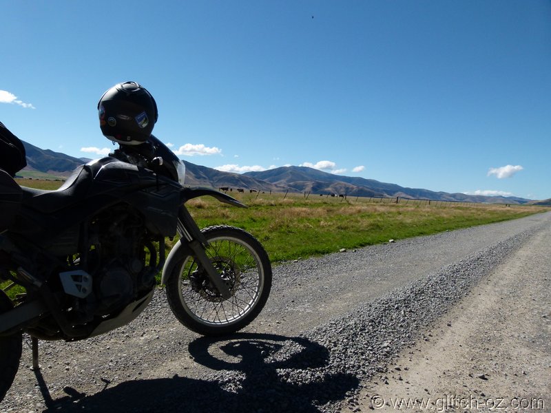
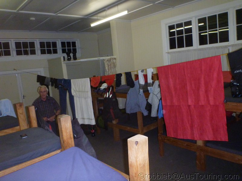
Who wants, can stay behind and have a leisurely afternoon, who wants can jettison their luggage here....and we’re only a good hour away from Christchurch, should the weather turn crappy overnight....sounds like a plan.
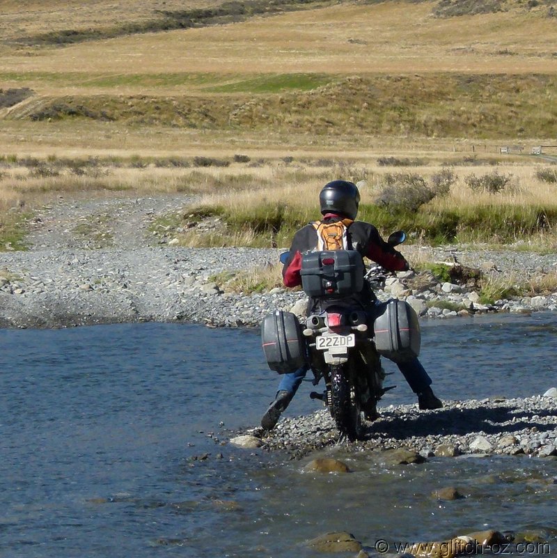
spoton.gif
 

glitch

Mapping the next ride...
Staff member
All enquiries and bookings are made, off we go then...the Lees Valley Rd. shows to be a paltry 35k’s or so on Google maps, we sure have plenty of fuel for that.

Just off the main road and up the first hill....


NZ_SI_2012_1040.JPG


NZ_SI_2012_1039a.JPG


NZ_SI_2012_1041.JPG


NZ_SI_2012_1042.JPG


NZ_SI_2012_1042a.JPG


NZ_SI_2012_1043.JPG


The further up the valley we go, the stronger the feel gets that this certainly ISN’T a “little afternoon stroll”
eek.gif
....but who the hell would want to quit the “path to paradise?”
It’s absolutely beautiful!!
glubsch.gif
glubsch.gif


NZ_SI_2012_1043a.JPG


NZ_SI_2012_1043b.JPG
 

glitch

Mapping the next ride...
Staff member
NZ_SI_2012_1043d.JPG


NZ_SI_2012_1043e.JPG


NZ_SI_2012_1044.JPG


NZ_SI_2012_1044a.JPG


We’re at the 35km mark now...and going by feel and map, we aren’t even halfway through....and there’s supposed to be the Okuku River crossing somewhere, damn, I didn’t check the online flow-tables anymore!! Fat lot of good it does now, eh??
This thing can go ballistic within a few hours, rising from half a meter to flooding a 100m wide strip of valley-floor.


NZ_SI_2012_1045.JPG


NZ_SI_2012_1046.JPG


Ashley River Bridge


NZ_SI_2012_1047.JPG


NZ_SI_2012_1048.JPG
 

glitch

Mapping the next ride...
Staff member
Let’s go and have a look...we’ve got just enough juice to make it back comfortably.


NZ_SI_2012_1049.JPG


NZ_SI_2012_1050.JPG


What a place for an afternoon nap, eh?
drool.gif
drool.gif


NZ_SI_2012_1051a.JPG


Checking things out....looks easy enough...if it wouldn’t be for that lose, deep base of fine pebbles right through the 2. part of the crossing.
The packed bikes just want to sink like rocks and stall...


NZ_SI_2012_1051.JPG


NZ_SI_2012_1052.JPG


NZ_SI_2012_1053.JPG


NZ_SI_2012_1054.JPG


NZ_SI_2012_1055.JPG


NZ_SI_2012_1056.JPG


NZ_SI_2012_1057.JPG
 

glitch

Mapping the next ride...
Staff member
From here on in it’s a maze of tracks and roads, many of them new-ish and obviously serving the local logging industry, with the usual non-existent signage, arghhh...and we’re getting low on fuel, considering the blowout from the planned 35 to 70k’s thus far, with no end in immediate sight.


In the end we cross the path of some locals, and 15mins later “we’re out of the woods” and back amongst more major roads...the afternoon is getting on, too.

Back at “home base”, the school camp at Ashley Gorge.


NZ_SI_2012_1059.JPG


No luxury here, but plenty of space. Looks like that Okuku River crossing not only produced some wet feet.


NZ_SI_2012_1060.JPG


And plenty of dead flies, too.


NZ_SI_2012_1060a.JPG


NZ_SI_2012_1060b.JPG


Something’s brewing when Latte-Dave starts going walkabouts in his Kawasaki-sleeping bag.


NZ_SI_2012_1061a.JPG


Rob and I are off into town picking up the take-away...while the table is set in the dining hall of the school-camp... the bottles clink, the laughter roars into the tall, dark poplars, both Daves showing off again how they hit the Okuku...the sounds of happiness of our own little world.

2thumbs_up.gif
2thumbs_up.gif


NZ_SI_2012_1066.JPG
 

glitch

Mapping the next ride...
Staff member
Mate, those are all sunrise shots from the last day....

Ta, fixed

That's what happens when all I can REALLY remember is that CabSav that Tassie-Dave came up with.
:bs


Orrite, that'll make a nice start for the last day then. :so
 

nev

Super Térrarist
The views on Mt Hutt were spectacular

IMG_0676.JPG


IMG_0691.JPG


IMG_0698.JPG


The Lees Valley Road. The first 20km were stunning. As I rode along there I said to myself, If I lived near here, I would ride down this road every day of the week.
IMG_0701.JPG


IMG_0713.JPG


IMG_0714.JPG


Regrouping after everyone was through the river
IMG_0716.JPG


IMG_0718.JPG


IMG_0722.JPG
 

Eddieb

Getting the hang of it

I dumped my fully loaded 950 Adventure about 10 foot in front of where the XT is while on my own. You're a fair walk from nowhere out there if you get stuck. Fortunately the Wolfman luggage kept the motor and airbox out of the water and I got it picked up and out of the river without needing help.
 
Top Bottom