

a86
Getting the hang of it
Last tuesday I investigated Jumbuk road and Traralgon creek road. I nearly took the 650 because there is a fair bit of bitumen, but due to the unknown condition of the dirt sections I took the 250.
I was also trying the Panasonic Lumix geotagging camera for the first time.
Jumbuk road starts way back at Yinnar, with a few kays of straight, flat bitumen before it starts to climb.
The 250 seems to be coping with the trauma of having its nice mauve fork gaiters replaced with dowdy black ones.
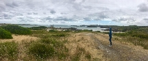
Now gaining some height, that is the Latrobe valley back there.
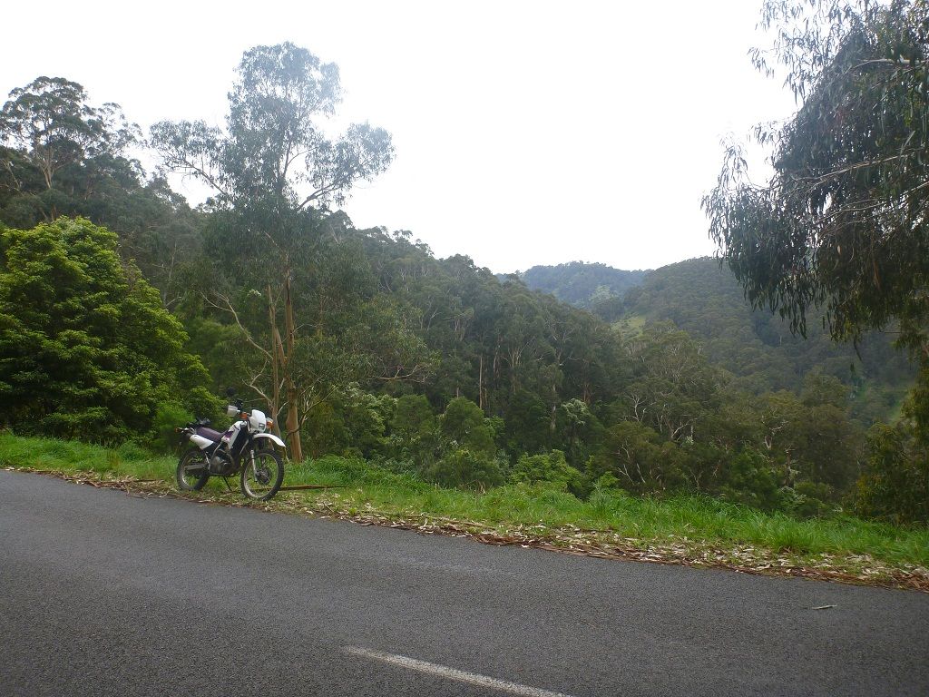
Here is where the dirt starts, at the settlement of Jumbuk. It is nice to see that something exists, as many of these places are just names on the map, with no trace remaining of the previous habitation.
Another interesting looking road that I will need to investigate.
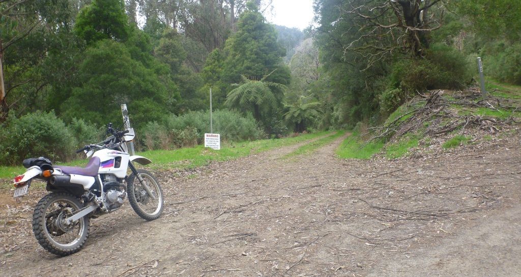
The junction of Jeeralang West road and Traralgon Creek road.
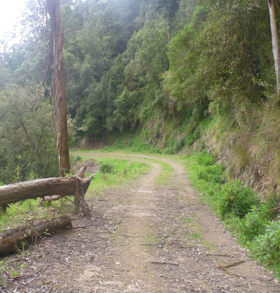
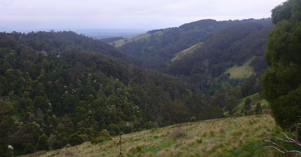
This gives some idea of the work that went into cutting roads that are now hardly used into the steep hillsides.
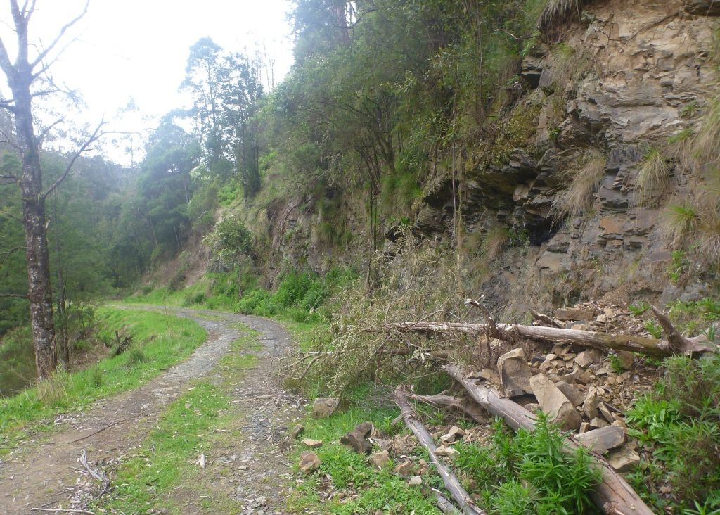
There are plenty of landslips, luckily none bad enough to block the road. There were a lot of trees down, taking part of the bank with them, but luckily someone with a chainsaw had been through.
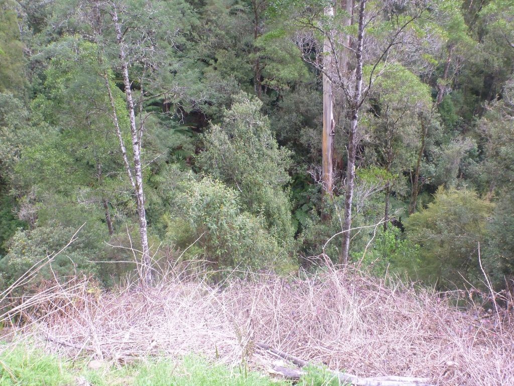
A partially successful attempt to convey how deep and steep the gully is. The camera is pointed not far off the vertical.
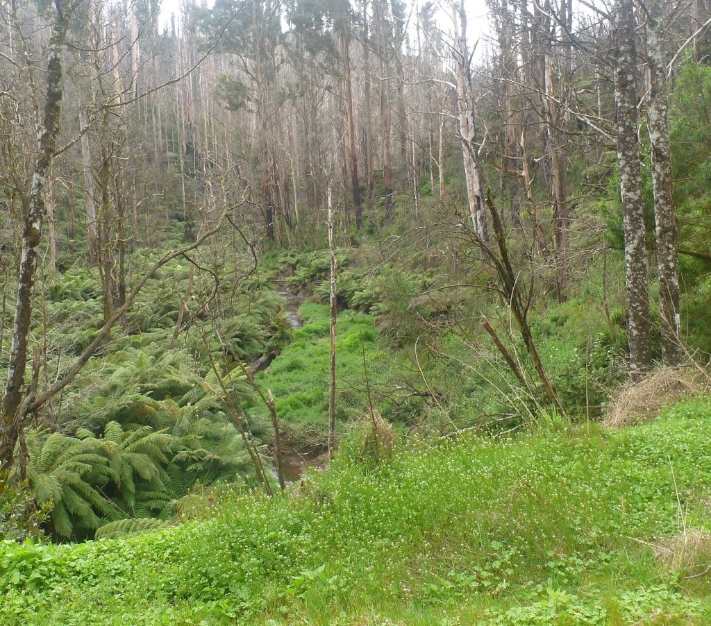
Getting closer to the creek. In this area the fires were hot enough to knock off the epicormic buds, so the eucs have not regenerated. Interestingly the response of the tree ferns was "let's party".
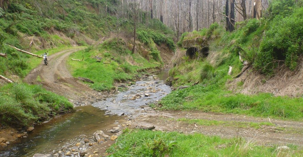
I would have been worried about trying this crossing on the strom out here alone as the far side is quite steep and there are big rocks on the bottom. The nimble 250 took it in its stride. The pipes suggest that there was a dam wall here with the road on the top. The creek had no respect for such feeble works of mankind.
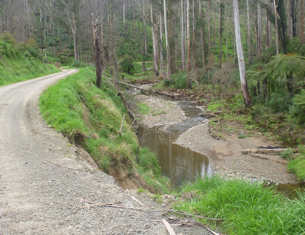
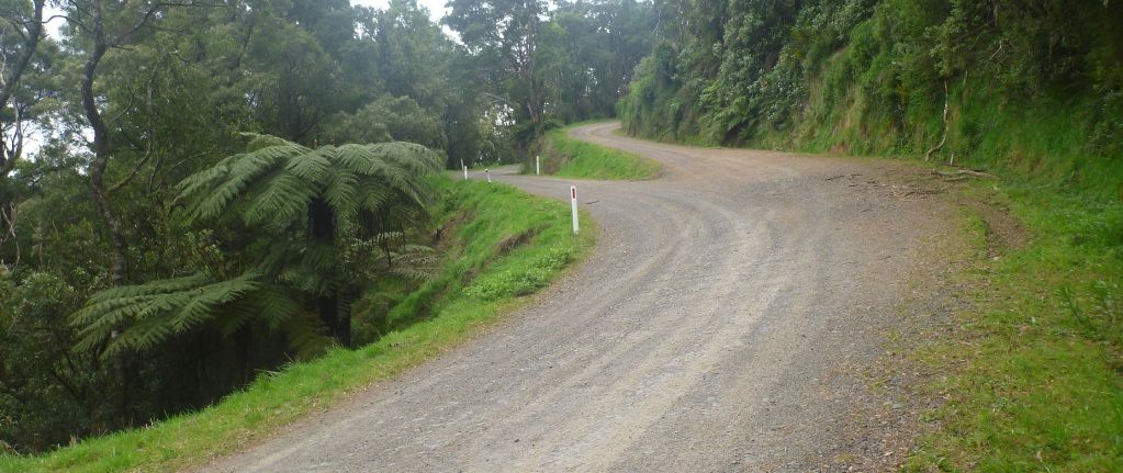
A nice bit of flat winding dirt.
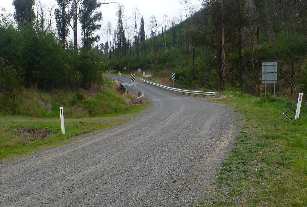
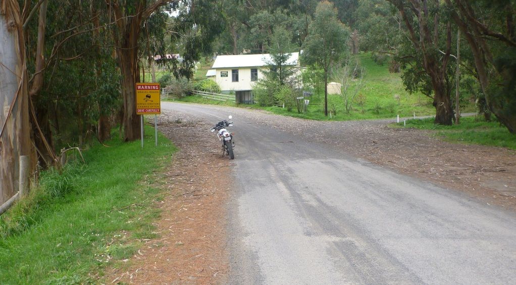
Back onto the bitumen.
In conclusion, Jumbuk road, in conjunction with Jeeralang West road, is a high quality gravel route up to the Grand Ridge. Traralgon Creek road could be done on the strom as long as at least one member of the group was happy with that creek crossing.
I only saw one instance of wildlife and it was one of the much feared al-qaeda suicide wallabies! Luckily it had not been properly trained to compensate for my braking so it missed my front wheel by several millimetres.
The Lumix worked nicely except for the GPS, which only got a fix automatically when it decided that it felt like it. This meant that when the photos came into Trimble Outdoors there were groups of them on top of each other. In future I will need to force it to acquire its position at each photo, which is irritatingly slow.
Track below, photos that are off the track have been manually positioned to an approximate location.
http://www.trimbleoutdoors.com/ViewTrip/1337331
I was also trying the Panasonic Lumix geotagging camera for the first time.
Jumbuk road starts way back at Yinnar, with a few kays of straight, flat bitumen before it starts to climb.
The 250 seems to be coping with the trauma of having its nice mauve fork gaiters replaced with dowdy black ones.
Now gaining some height, that is the Latrobe valley back there.
Here is where the dirt starts, at the settlement of Jumbuk. It is nice to see that something exists, as many of these places are just names on the map, with no trace remaining of the previous habitation.
Another interesting looking road that I will need to investigate.
The junction of Jeeralang West road and Traralgon Creek road.
This gives some idea of the work that went into cutting roads that are now hardly used into the steep hillsides.
There are plenty of landslips, luckily none bad enough to block the road. There were a lot of trees down, taking part of the bank with them, but luckily someone with a chainsaw had been through.
A partially successful attempt to convey how deep and steep the gully is. The camera is pointed not far off the vertical.
Getting closer to the creek. In this area the fires were hot enough to knock off the epicormic buds, so the eucs have not regenerated. Interestingly the response of the tree ferns was "let's party".
I would have been worried about trying this crossing on the strom out here alone as the far side is quite steep and there are big rocks on the bottom. The nimble 250 took it in its stride. The pipes suggest that there was a dam wall here with the road on the top. The creek had no respect for such feeble works of mankind.
A nice bit of flat winding dirt.
Back onto the bitumen.
In conclusion, Jumbuk road, in conjunction with Jeeralang West road, is a high quality gravel route up to the Grand Ridge. Traralgon Creek road could be done on the strom as long as at least one member of the group was happy with that creek crossing.
I only saw one instance of wildlife and it was one of the much feared al-qaeda suicide wallabies! Luckily it had not been properly trained to compensate for my braking so it missed my front wheel by several millimetres.
The Lumix worked nicely except for the GPS, which only got a fix automatically when it decided that it felt like it. This meant that when the photos came into Trimble Outdoors there were groups of them on top of each other. In future I will need to force it to acquire its position at each photo, which is irritatingly slow.
Track below, photos that are off the track have been manually positioned to an approximate location.
http://www.trimbleoutdoors.com/ViewTrip/1337331


