|
|
|
You are using an out of date browser. It may not display this or other websites correctly.
You should upgrade or use an alternative browser.
You should upgrade or use an alternative browser.
The Long-White-Cloud Spectacular__NZ South Island 2012
- Thread starter glitch
- Start date


nev
Super Térrarist
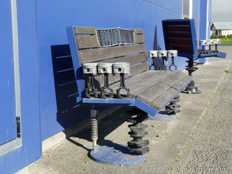
A few comparison shots from my winter trip a few years ago..


Hey, there's that sign (1. on the left) Robbie missed on the creek-dive

Shit, that looks COLD!!
robbieb
Tassie Daddy
Hey, there's that sign (1. on the left) Robbie missed on the creek-dive
Shit, that looks COLD!!
No wonder I missed it, they've only put it about 200km away from the hazard! Someone got their scales wrong, I reckon
No wonder I missed it, they've only put it about 200km away from the hazard! Someone got their scales wrong, I reckon
Loss of short term memory?....or is Alzheimers infectious now?... with all those oldies around, ya know...
Shit happens, aye?

The fog gets even thicker as we dip from Fairlie into the Canterbury Plains...and it’s sort of warm for that time of day.
The last full day on the road...howwwll!!....and we want to finish up within about a good hour’s ride from Christchurch, if possible.
So we’re droning up route 72, the Plains Backroad/ Bypass.
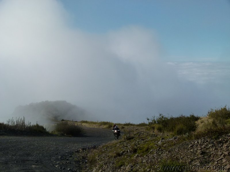
I pick the wrong turn-off for the back way into Methven, but we recover via some quick, straight dirtroads, pulling into the servo still under a fog-blanket...but there’s hope, there IS the odd blue hole up there.
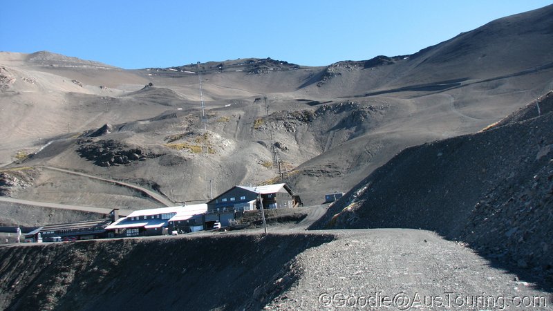
Hmmmm....I’m fairly sure of some blue skies above the muck, let’s give Mt. Hutt a whirl, Christchurch’s closest Ski Mountain.
If it turns to shite, we can still head north on hwy72 for some other places.
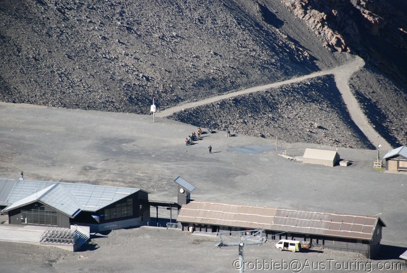
Jaaaackpot!!

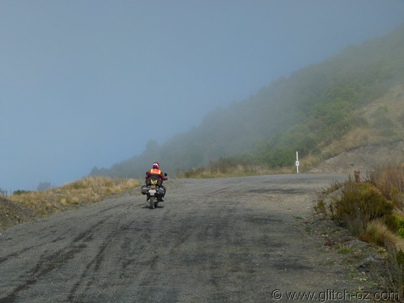
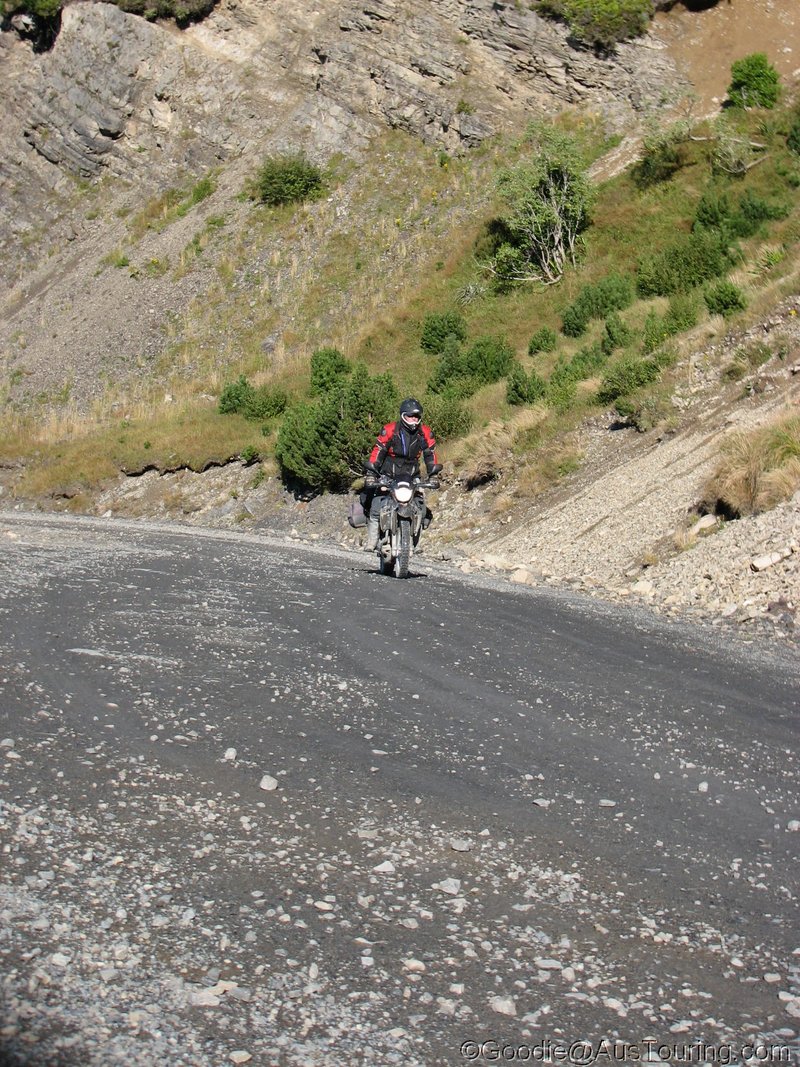
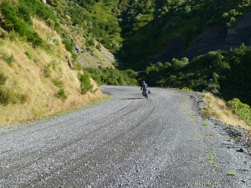
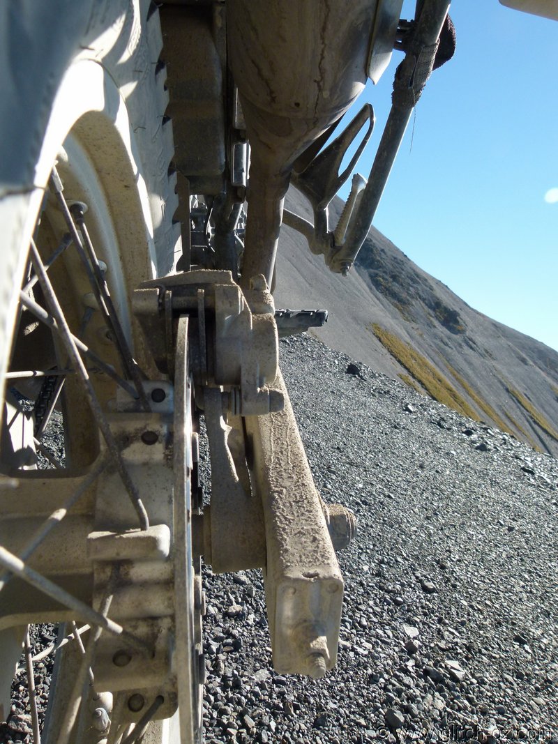
Happy to have all that gravel practice, this crap is like marbles...it’s also quite bumpy and rocky.
The fog gets even thicker as we dip from Fairlie into the Canterbury Plains...and it’s sort of warm for that time of day.
The last full day on the road...howwwll!!....and we want to finish up within about a good hour’s ride from Christchurch, if possible.
So we’re droning up route 72, the Plains Backroad/ Bypass.
I pick the wrong turn-off for the back way into Methven, but we recover via some quick, straight dirtroads, pulling into the servo still under a fog-blanket...but there’s hope, there IS the odd blue hole up there.
Hmmmm....I’m fairly sure of some blue skies above the muck, let’s give Mt. Hutt a whirl, Christchurch’s closest Ski Mountain.
If it turns to shite, we can still head north on hwy72 for some other places.
Jaaaackpot!!
Happy to have all that gravel practice, this crap is like marbles...it’s also quite bumpy and rocky.
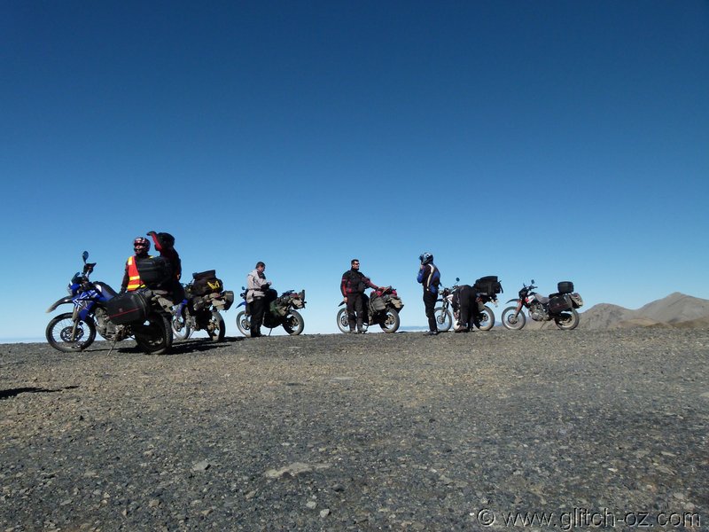
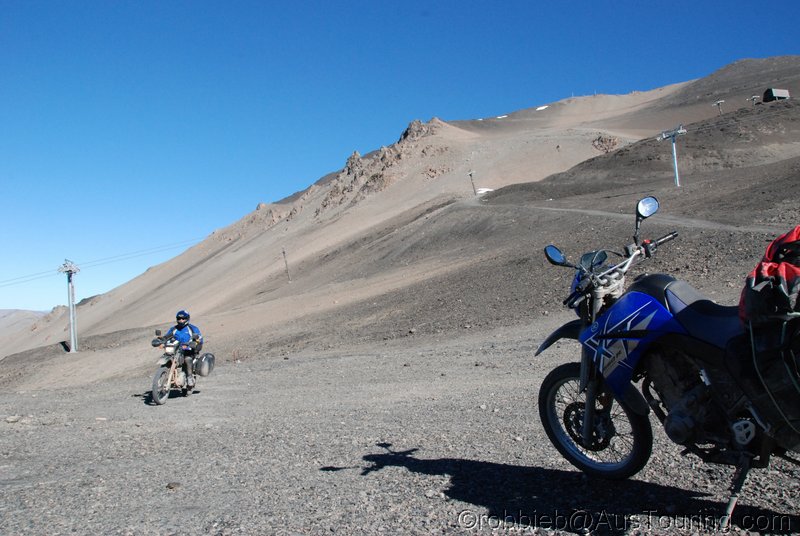
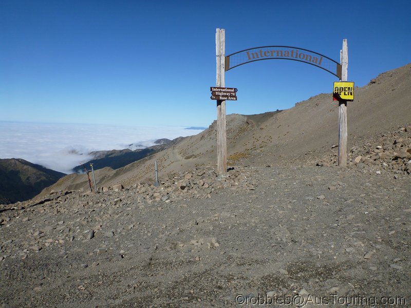
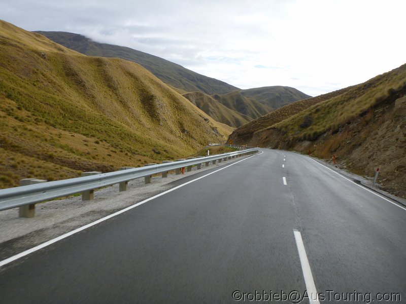
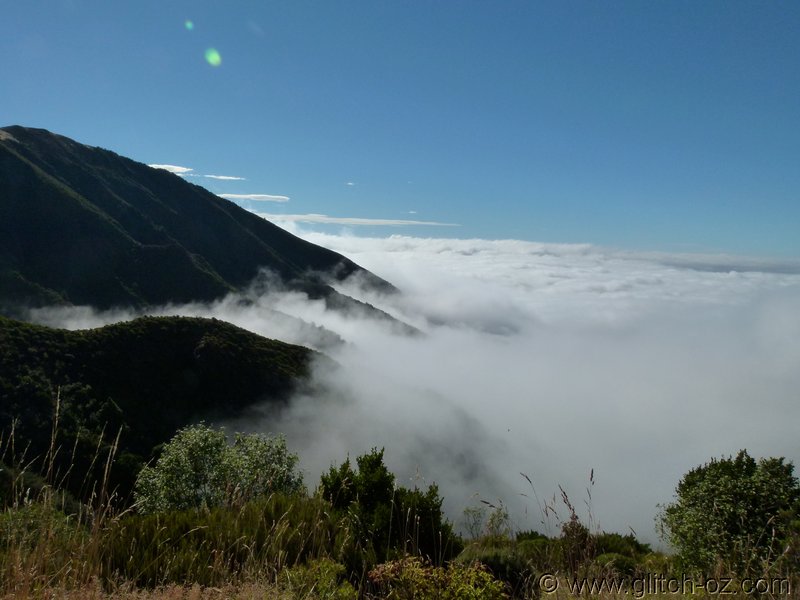
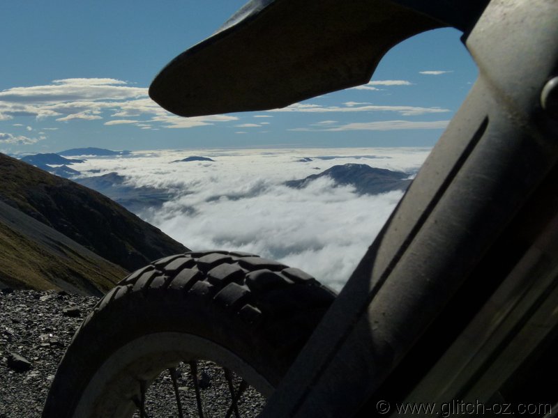
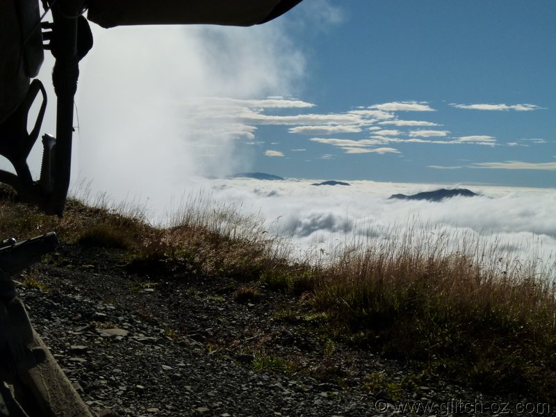
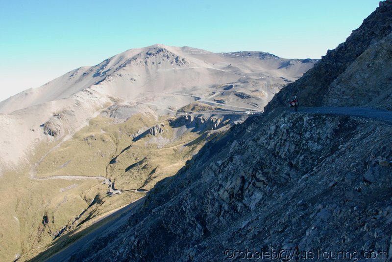
Flying High....above the clouds.

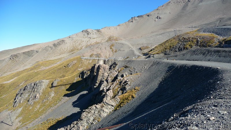
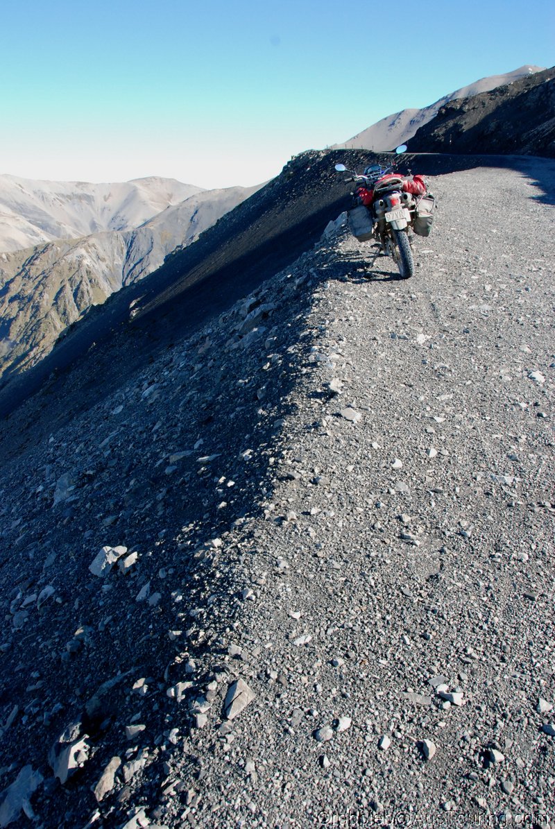
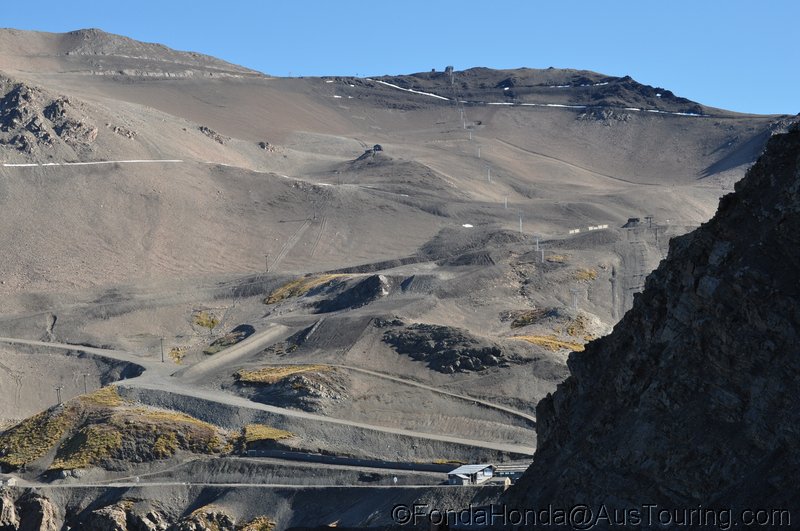
The whole mountain is a single, gigantic, pile of rubble...yo, the stuff that just constantly shifts, drops, rolls, “trickles” downhill like a never-ending, super slow-moving avalanche.
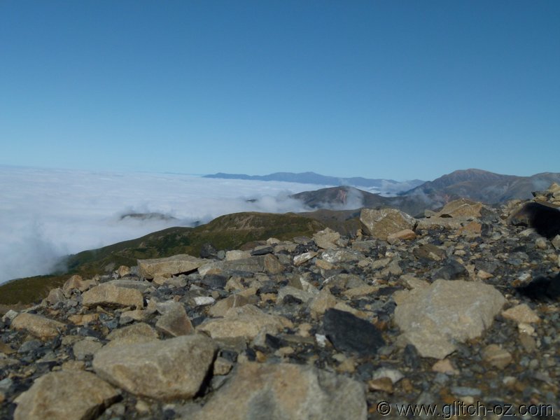
The stark, bare slopes, blue skies and the cottonwool carpet of the fog in the plains make for some truly unforgettable moments.
MAGIC!!
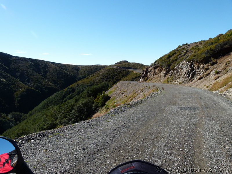
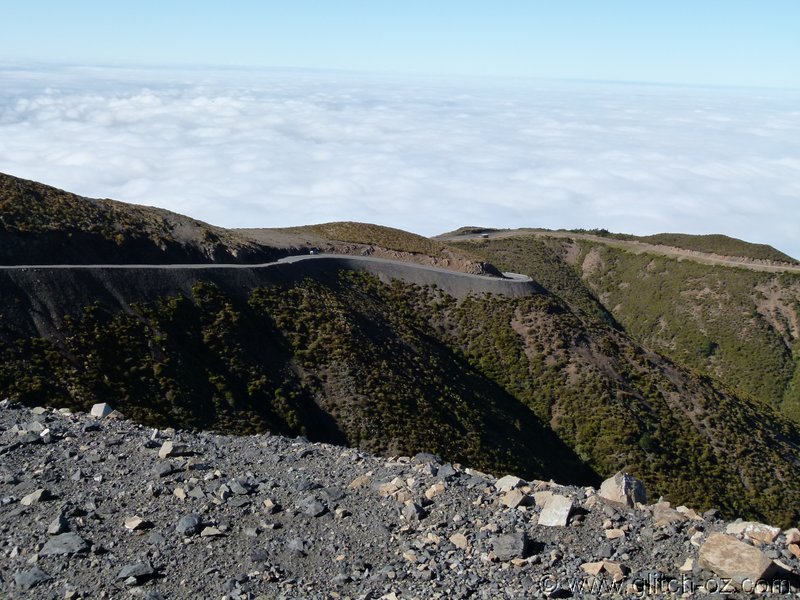
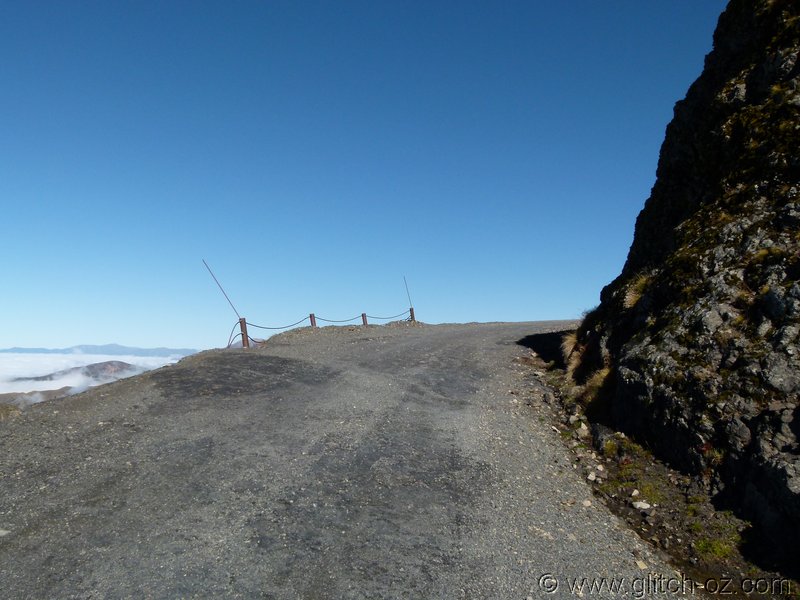
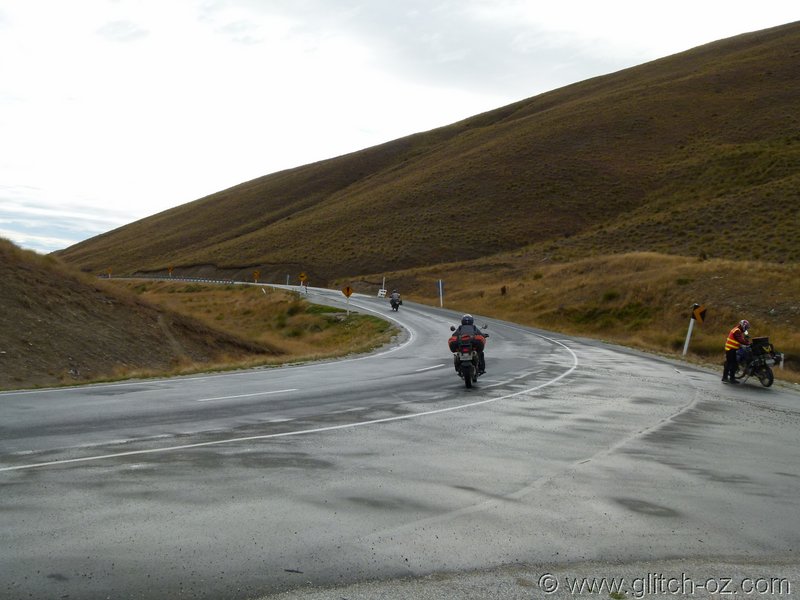
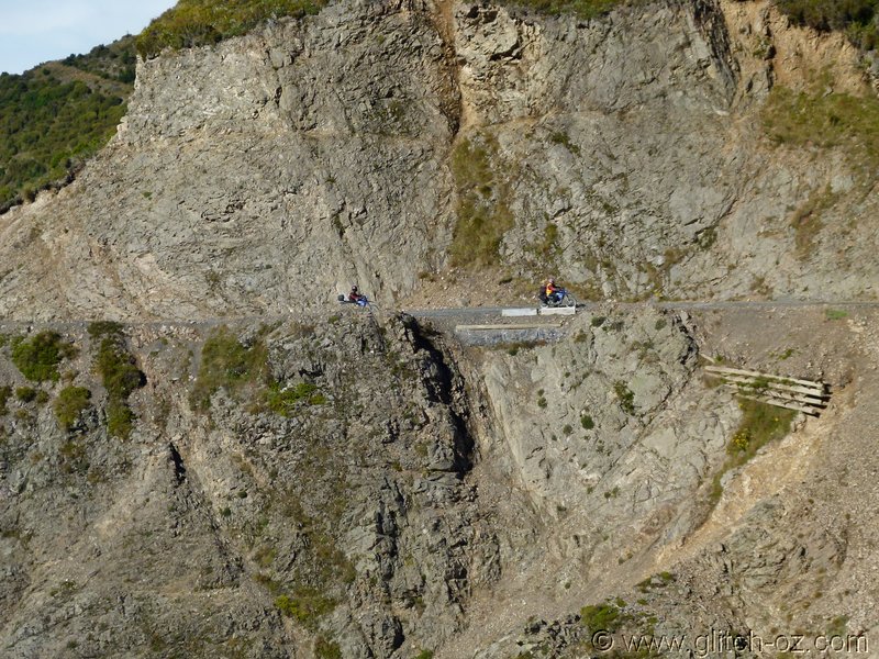
The road by itself is a stumper!!
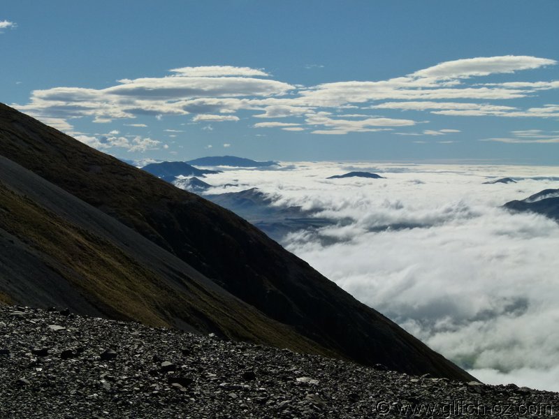
The whole mountain is a single, gigantic, pile of rubble...yo, the stuff that just constantly shifts, drops, rolls, “trickles” downhill like a never-ending, super slow-moving avalanche.
The stark, bare slopes, blue skies and the cottonwool carpet of the fog in the plains make for some truly unforgettable moments.
MAGIC!!
The road by itself is a stumper!!