
twowheeler
two wheels are best
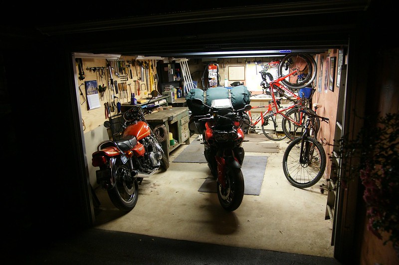
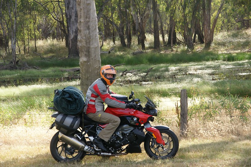
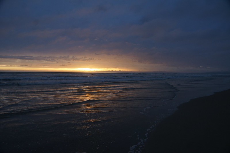
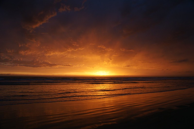
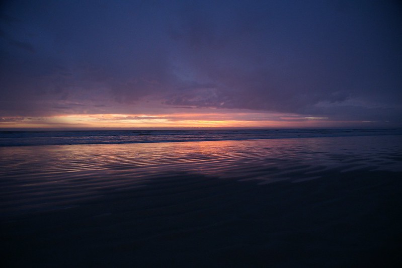
As Nelson Mandela lay passing from his courageous life (although I didn’t know this until days later), I was readying the K1300R for a pre-dawn start.
But pre-dawn heavy rain delayed proceedings. I don’t mind riding in rain, or the dark, but not in rain and the dark.
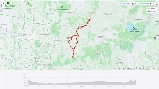
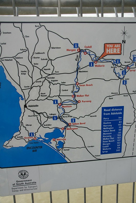
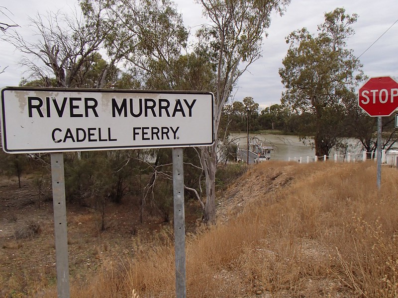
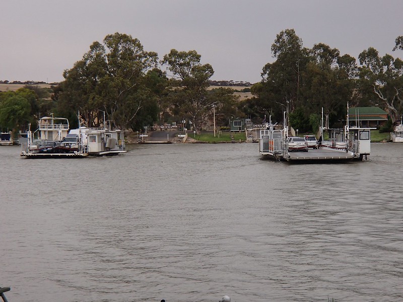
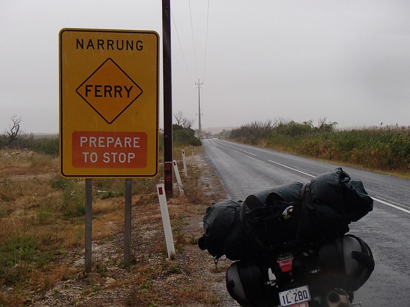
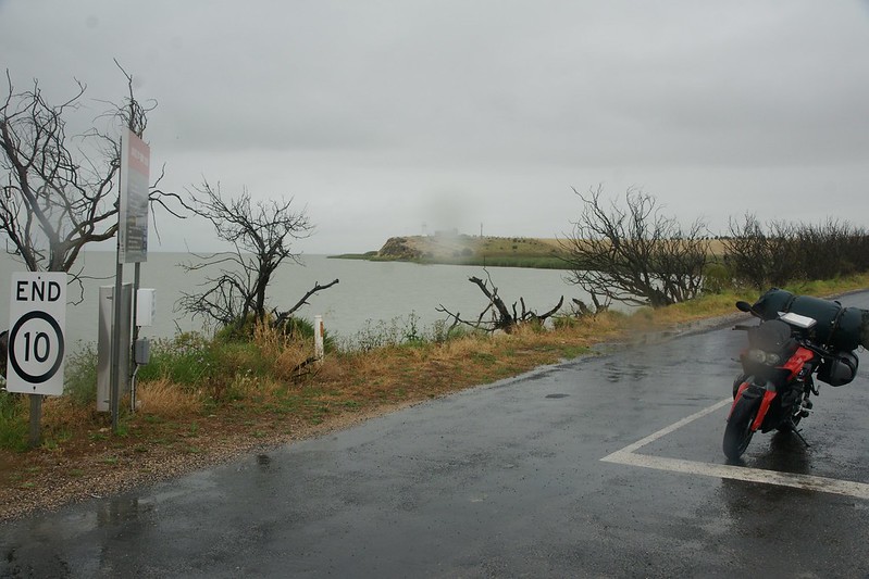
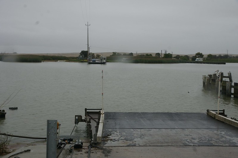
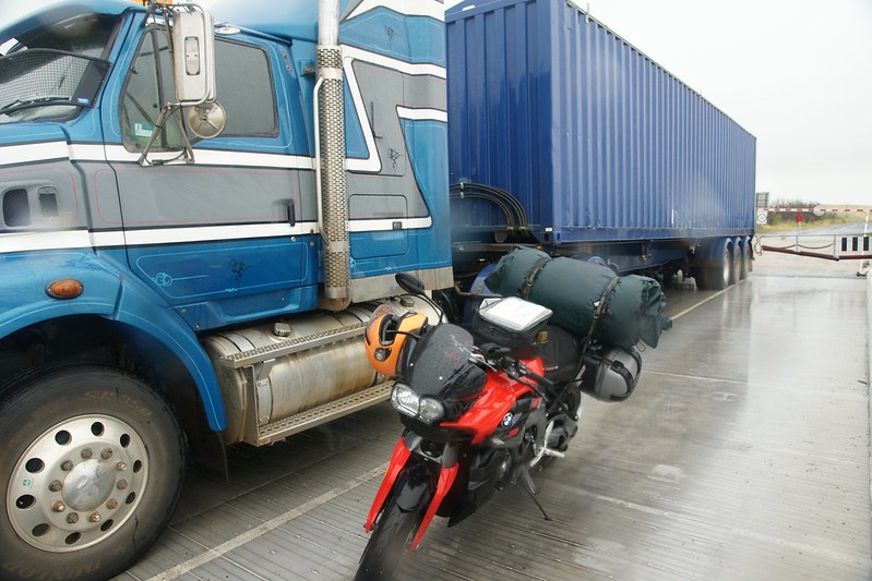
I was going to ride the length of the Murray River, starting as far upstream as it's possible to cross without getting wheels wet, then working downstream, crossing at every ferry until reaching its mouth, like stitching a long wet sock. There are 13 ferries along the Murray (14 if you count the double ferries at Mannum), including the last at Narrung, which doesn’t actually cross the river, but I wanted to do it anyway.
The basic route was to be a mix of back roads, a bit of highway, a bit of gravel, flexibility to take plenty of pics wherever they presented themselves. No set places to be each night other than the first one. See some old friends, and visit a couple of places important to both of my grandfathers when they were young.
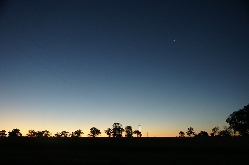
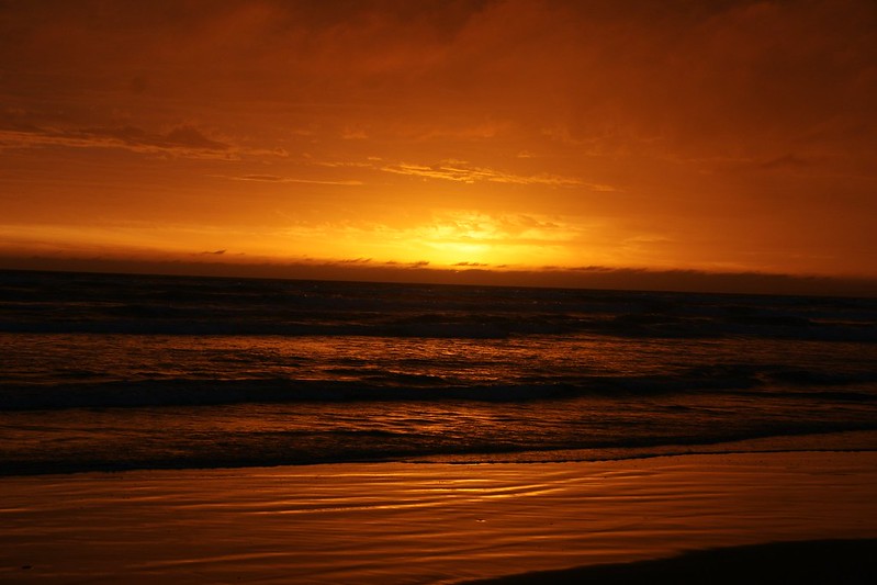
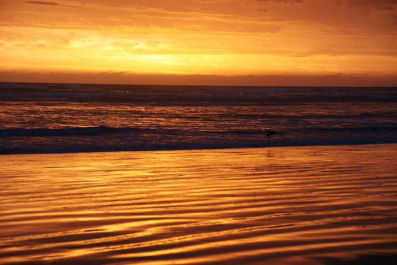
The rain cleared, for a short time

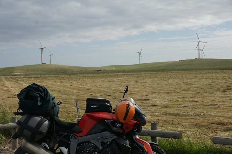
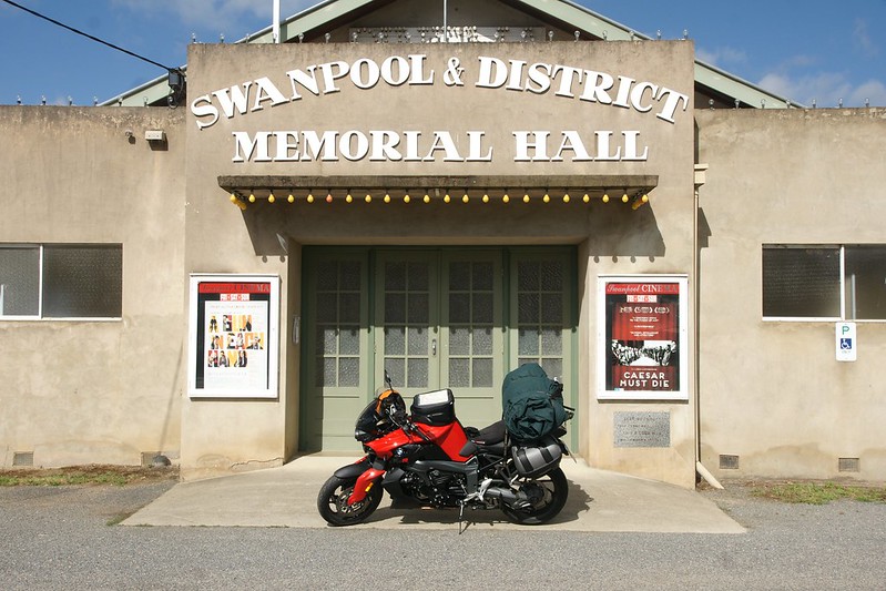
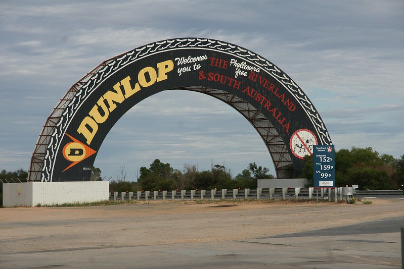
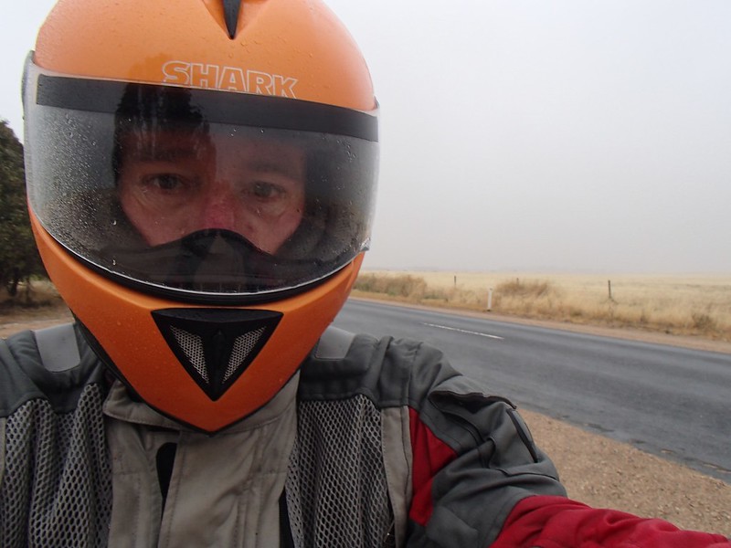
Main-roaded it to Swanpool and its cinema. Light rain for most of the way and 8deg meant I was frozen by now despite the heated grips on max. It’s bloody summer for cripes sake !
The sun was out and the temp had reached double figures by Yakandandah and the start of the less-trafficked roads.
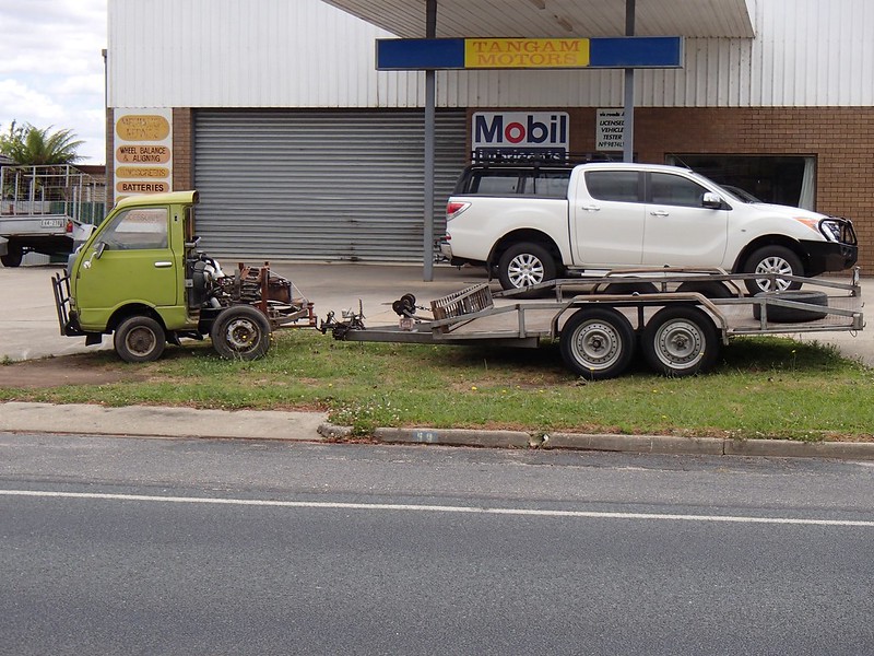
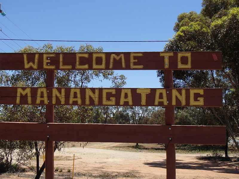
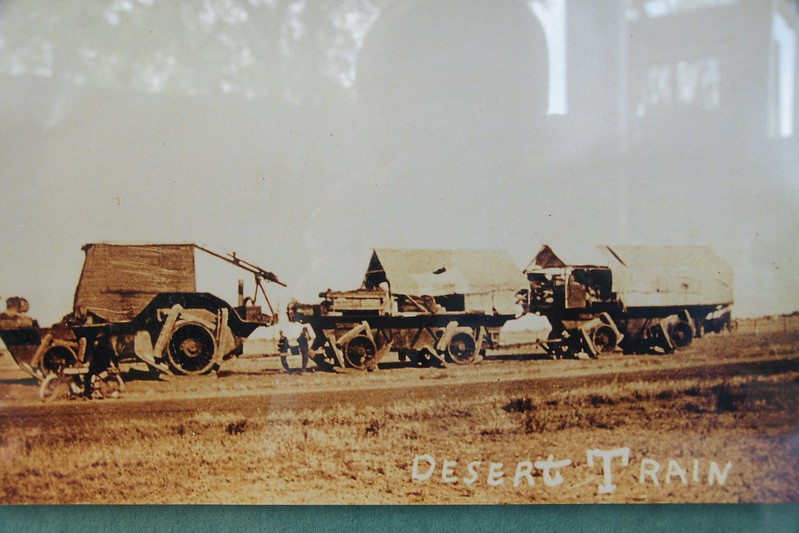
Big 8-wheel rig, Tangambalanga. Say Tangambalanga 5 times fast.
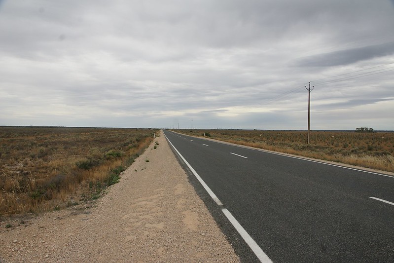
Eastward via the empty Murray Valley Highway with its sweepers. After lunch in Corryong, filling the K up at the BP garage, the proprietor asked me where I was headed. I told him, feeling rather chuffed at my plans. He paused and said “look out for a young fella who left his car with me 2 months ago. I took him and his canoe to Tom Groggin, and he’s paddling to the mouth :bow: . Don’t know where he’ll be by now”.
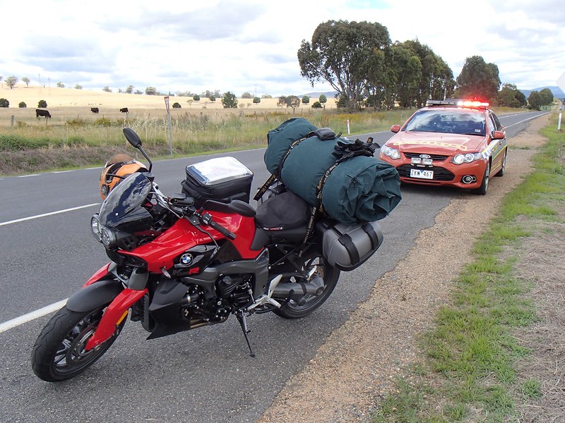
A friendly local copper pulled me over. The initial sinking feeling turned into an example of positive policing , “don't worry, you’ve done nothing wrong sir”, he was “filling a quota of bike checks for December”, and wanted to ensure “I was staying upright”, did a breath and licence check then we had a chat about the route I was intending to take.
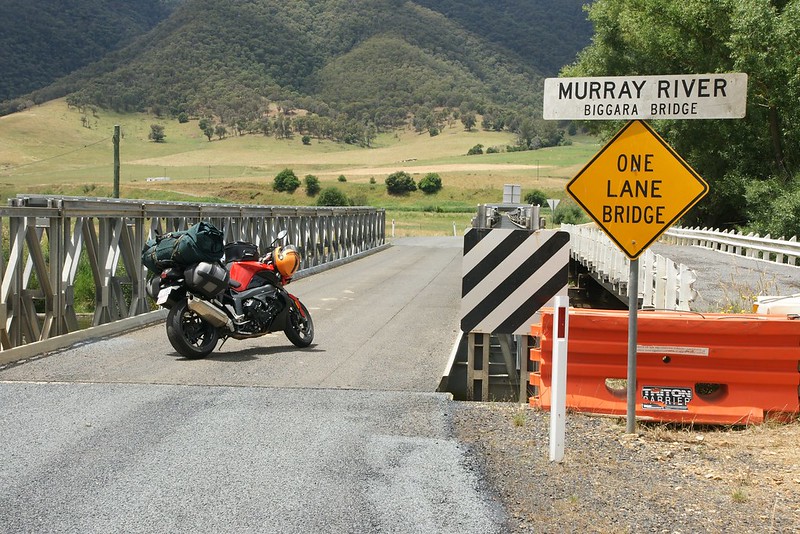
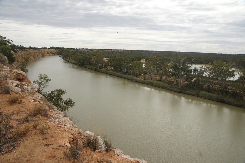
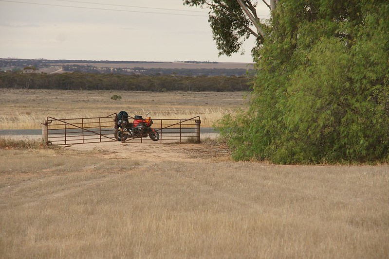
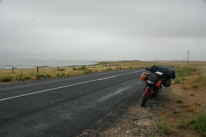
Turned south down the Upper Murray Road, dairy flats, until there it was - Biggara Bridge. The furthest upstream bridge on the Murray River. Crossing the river further up means fording it, and I won’t be doing THAT on a fully-fuelled road bike + luggage weighing 260kg.
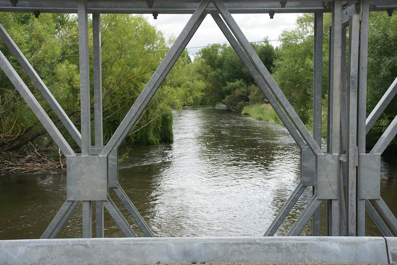
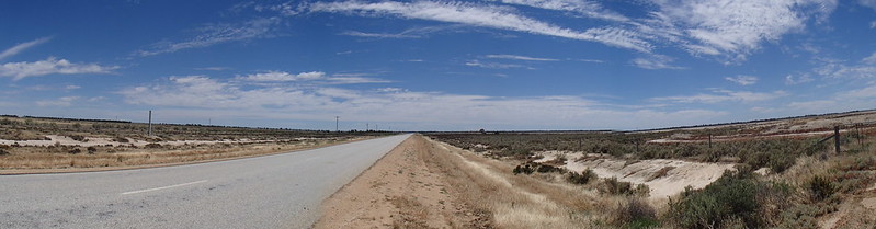
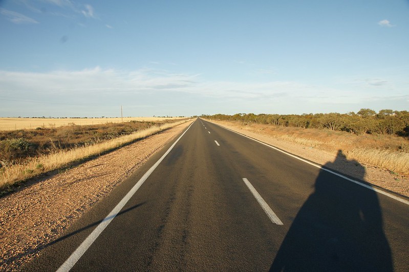
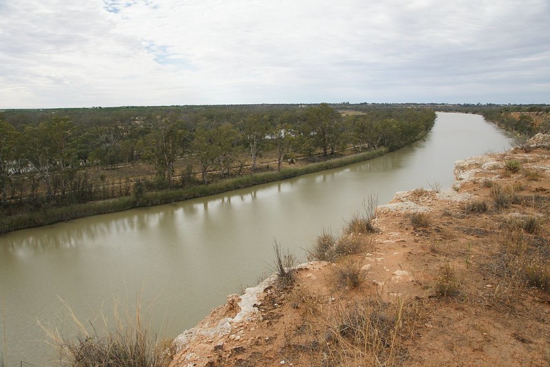
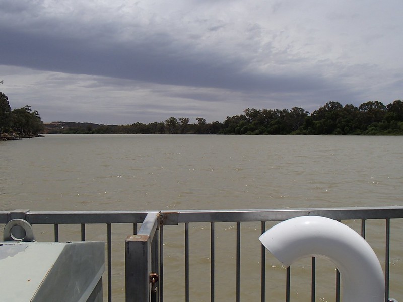
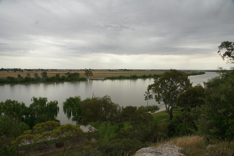
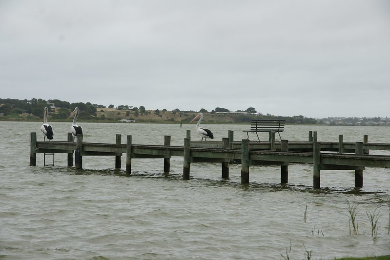
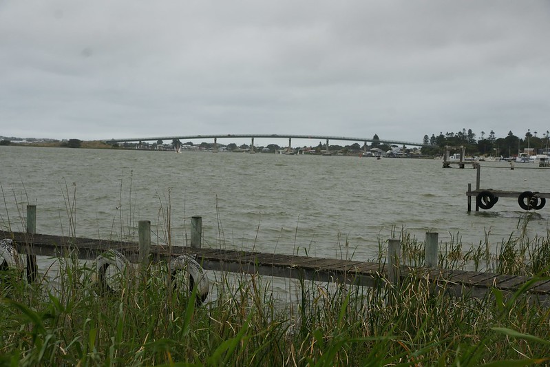
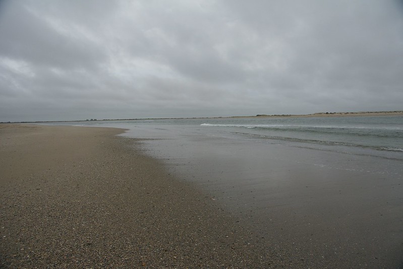
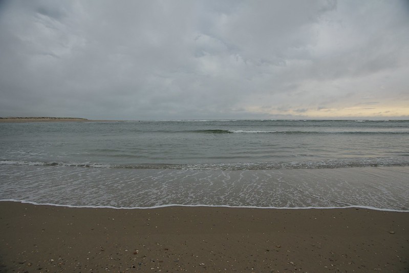
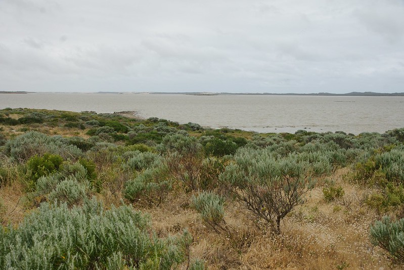
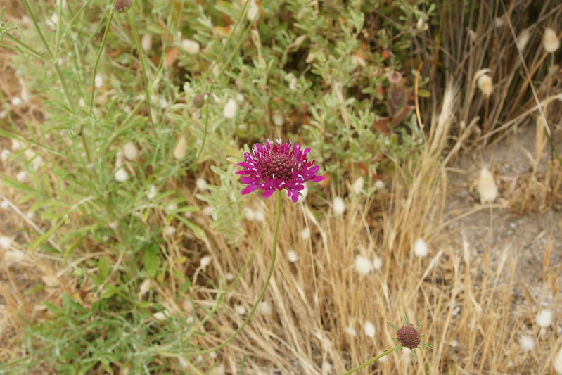
It’s going to get a lot wider by the mouth
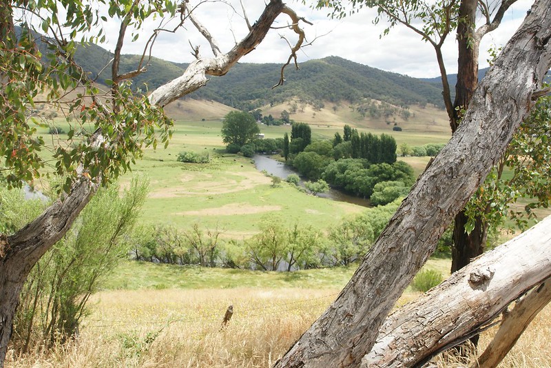
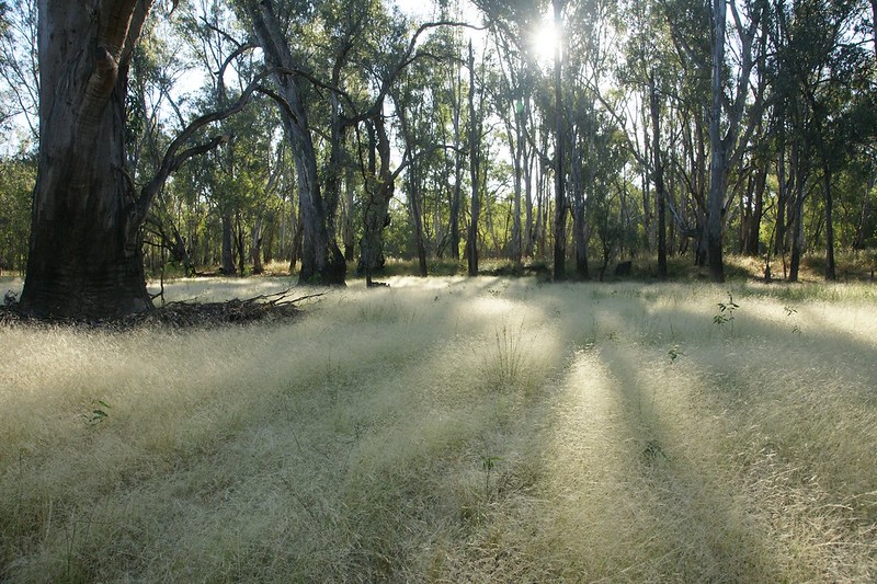
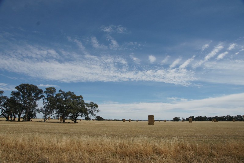
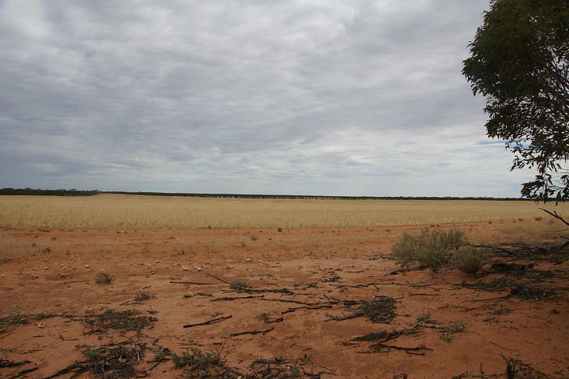
The sun’s out so layers are shed. Feeling very contented, first target achieved, the sun soaking into my body, the peace disturbed by no people, a few cows and several thousand flies.

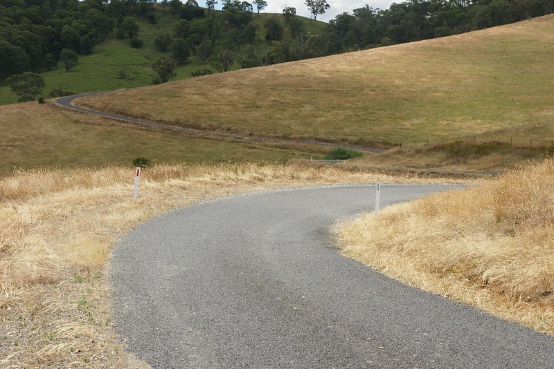
Return via the Indi Road
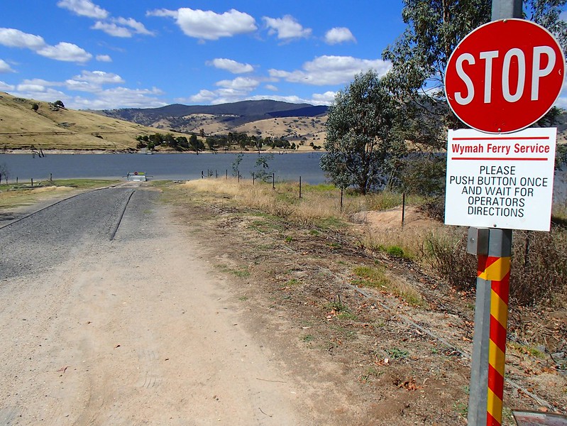
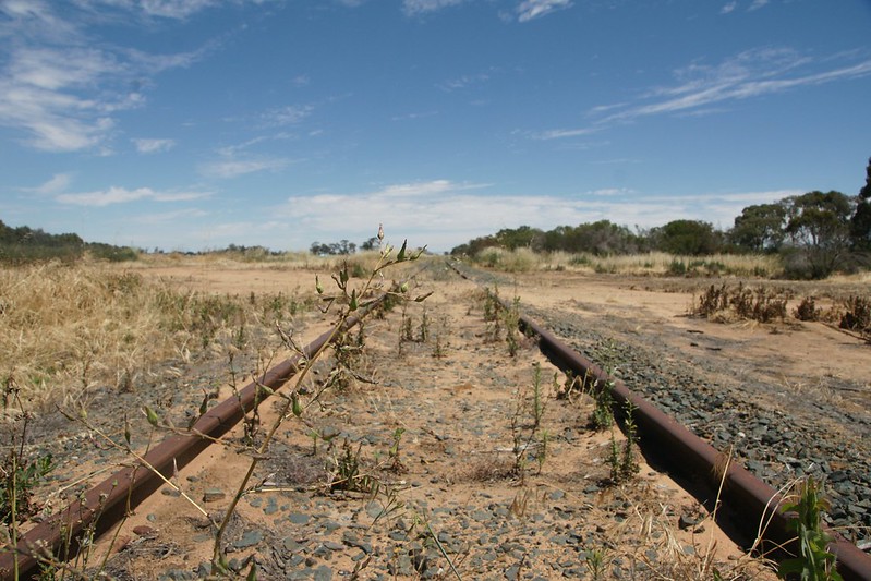
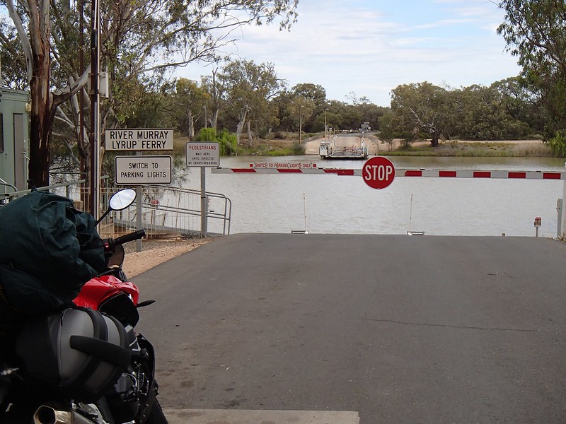
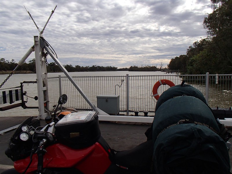
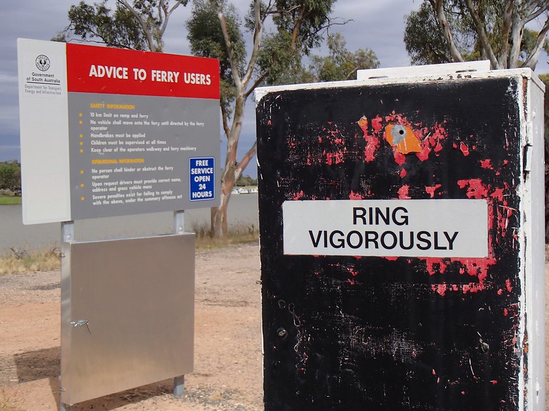
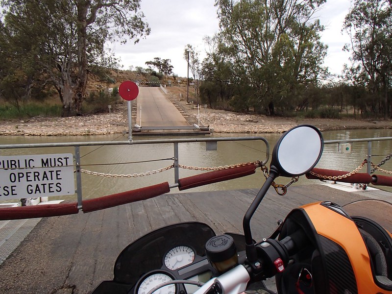
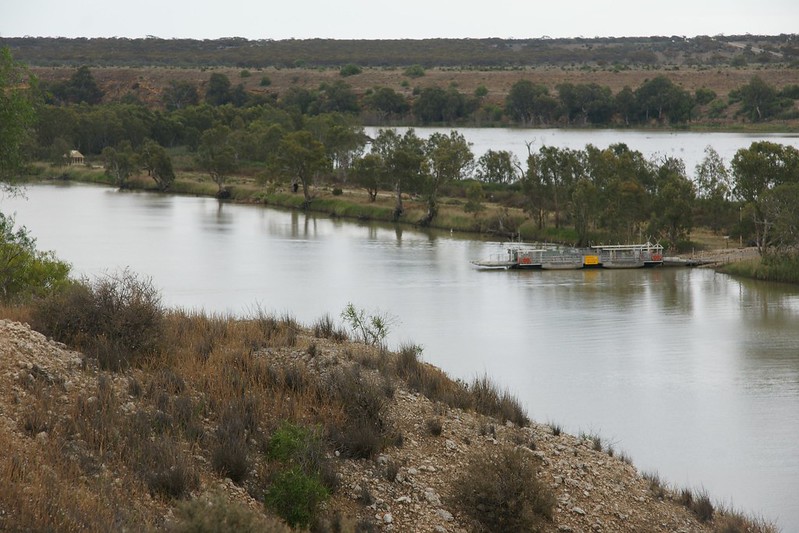
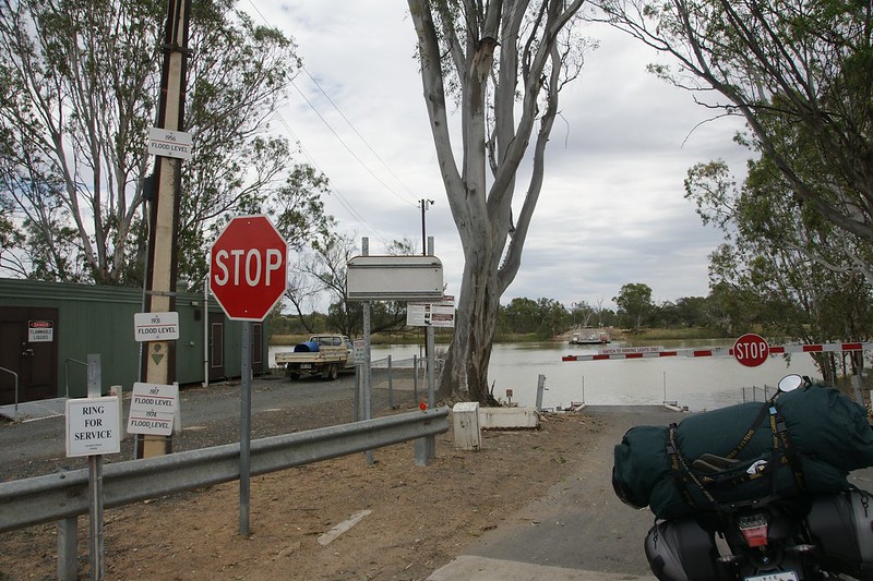
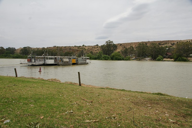
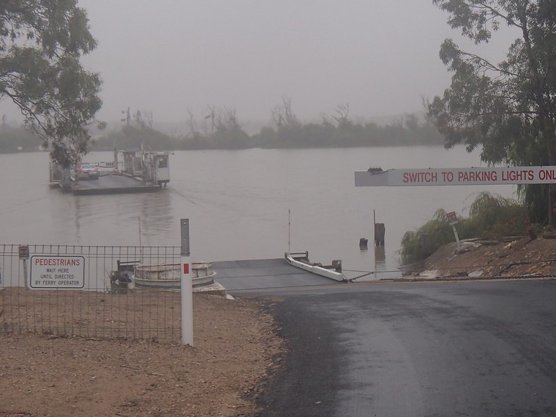
Backtracked to the Mt Granya road, then headed north to the first of the ferries at Wymah. The ferry approach was down a ramp of sand and gravel in between railroad tracks. It was OK, gently does it, but made me worry about what was to come further downstream. It turned out the remainder have perfect sealed approaches.
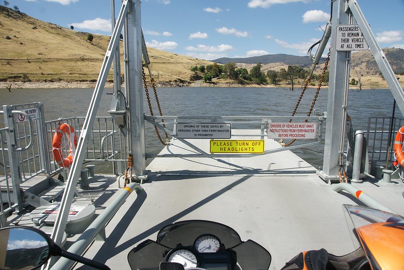
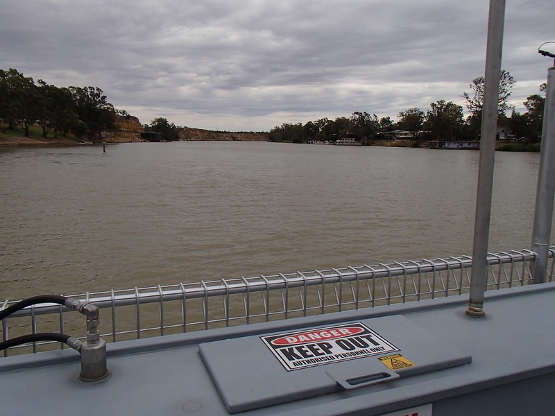
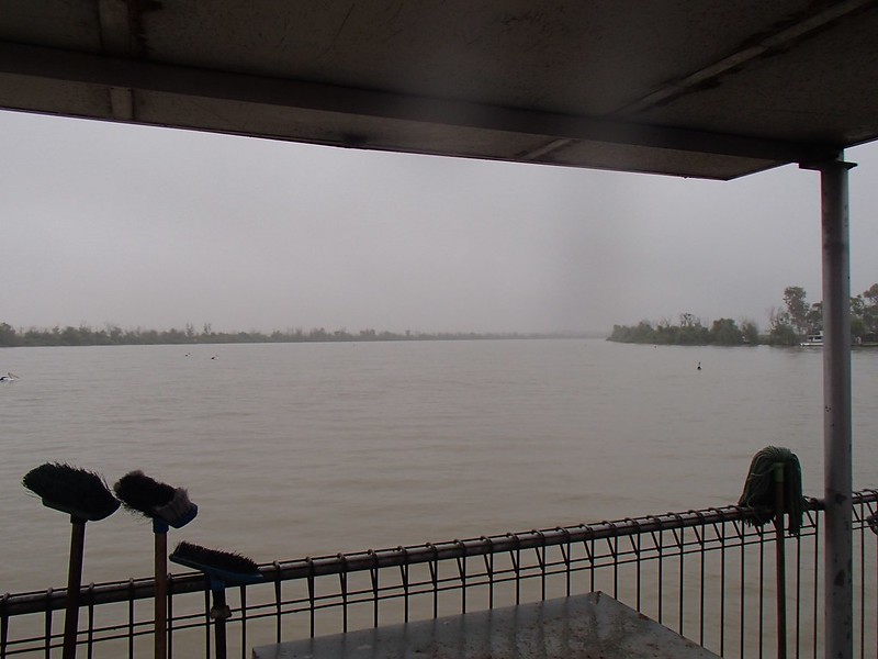
Across Lake Hume and into New South Wales. I asked the ferry driver (master ?) whether he’d been busy that day. Deadpan, he said yes, he’d had 3-4 cars so far. I decided not to laugh.
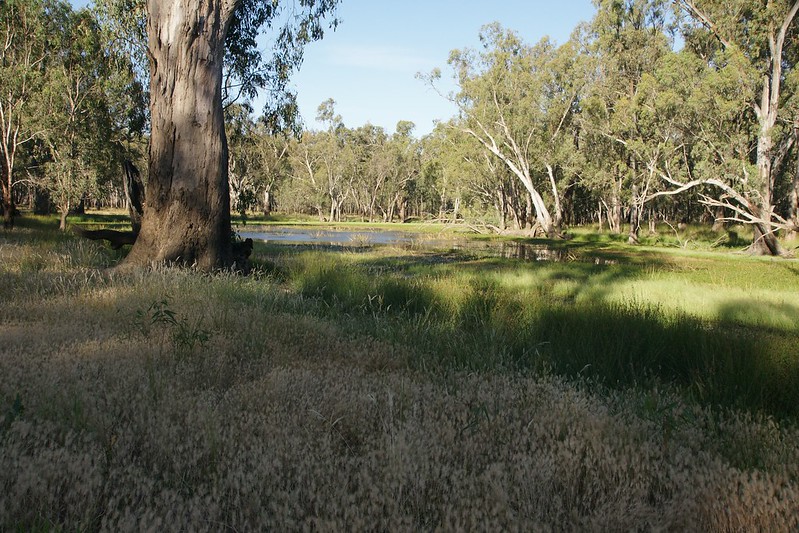
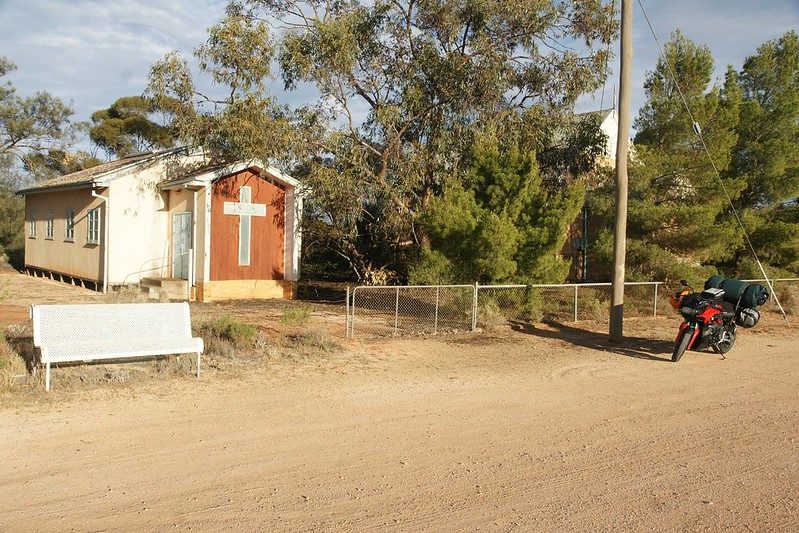
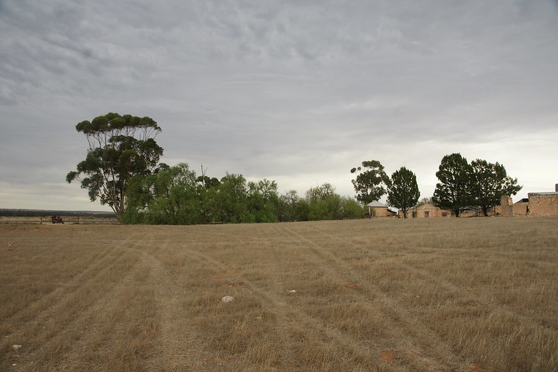
Main-roaded from here to Bundalong South, near Yarrawonga. Old friends have a small farm here on the banks of the Ovens River just before it joins the Murray.
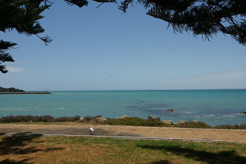
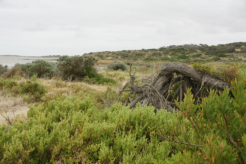
A beautiful, peaceful spot
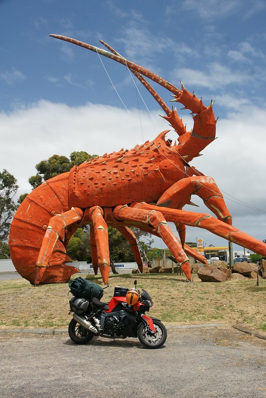
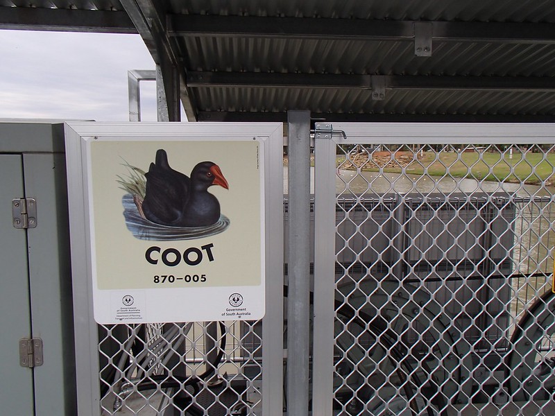
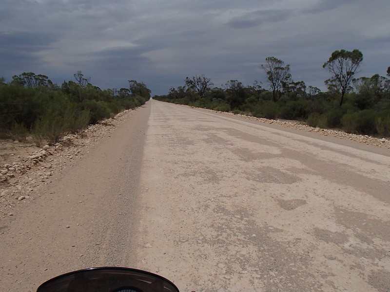
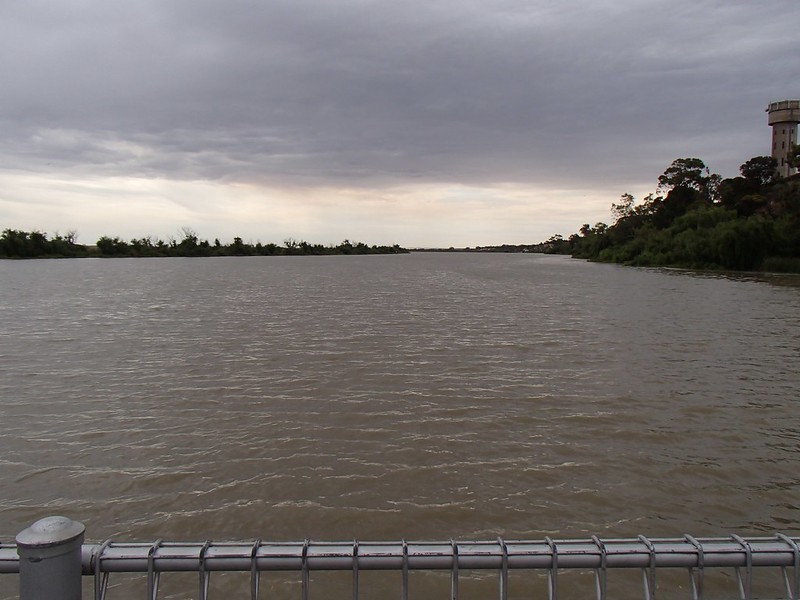
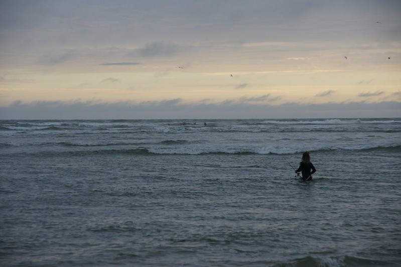
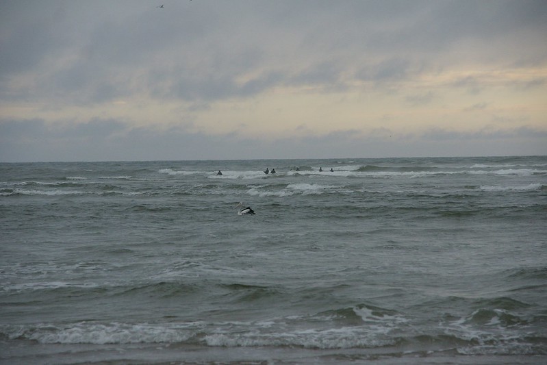
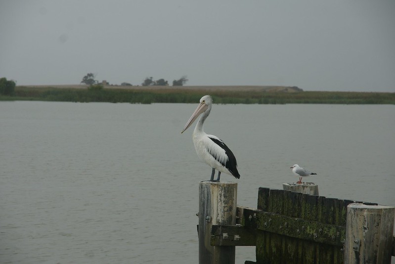
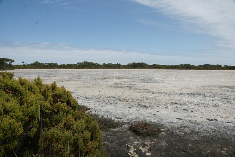
See the seal ?
More to come .......
But pre-dawn heavy rain delayed proceedings. I don’t mind riding in rain, or the dark, but not in rain and the dark.
I was going to ride the length of the Murray River, starting as far upstream as it's possible to cross without getting wheels wet, then working downstream, crossing at every ferry until reaching its mouth, like stitching a long wet sock. There are 13 ferries along the Murray (14 if you count the double ferries at Mannum), including the last at Narrung, which doesn’t actually cross the river, but I wanted to do it anyway.
The basic route was to be a mix of back roads, a bit of highway, a bit of gravel, flexibility to take plenty of pics wherever they presented themselves. No set places to be each night other than the first one. See some old friends, and visit a couple of places important to both of my grandfathers when they were young.
The rain cleared, for a short time
Main-roaded it to Swanpool and its cinema. Light rain for most of the way and 8deg meant I was frozen by now despite the heated grips on max. It’s bloody summer for cripes sake !
The sun was out and the temp had reached double figures by Yakandandah and the start of the less-trafficked roads.
Big 8-wheel rig, Tangambalanga. Say Tangambalanga 5 times fast.
Eastward via the empty Murray Valley Highway with its sweepers. After lunch in Corryong, filling the K up at the BP garage, the proprietor asked me where I was headed. I told him, feeling rather chuffed at my plans. He paused and said “look out for a young fella who left his car with me 2 months ago. I took him and his canoe to Tom Groggin, and he’s paddling to the mouth :bow: . Don’t know where he’ll be by now”.
A friendly local copper pulled me over. The initial sinking feeling turned into an example of positive policing
, “don't worry, you’ve done nothing wrong sir”, he was “filling a quota of bike checks for December”, and wanted to ensure “I was staying upright”, did a breath and licence check then we had a chat about the route I was intending to take.
Turned south down the Upper Murray Road, dairy flats, until there it was - Biggara Bridge. The furthest upstream bridge on the Murray River. Crossing the river further up means fording it, and I won’t be doing THAT
on a fully-fuelled road bike + luggage weighing 260kg.
It’s going to get a lot wider by the mouth
The sun’s out so layers are shed. Feeling very contented, first target achieved, the sun soaking into my body, the peace disturbed by no people, a few cows and several thousand flies.
Return via the Indi Road
Backtracked to the Mt Granya road, then headed north to the first of the ferries at Wymah. The ferry approach was down a ramp of sand and gravel in between railroad tracks. It was OK, gently does it, but made me worry about what was to come further downstream. It turned out the remainder have perfect sealed approaches.
Across Lake Hume and into New South Wales. I asked the ferry driver (master ?) whether he’d been busy that day. Deadpan, he said yes, he’d had 3-4 cars so far. I decided not to laugh.
Main-roaded from here to Bundalong South, near Yarrawonga. Old friends have a small farm here on the banks of the Ovens River just before it joins the Murray.
A beautiful, peaceful spot
See the seal ?
More to come .......
Last edited:


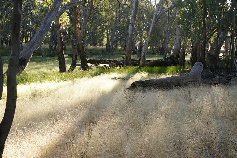
 before I dropped back down to the river (where it's a few deg cooler).
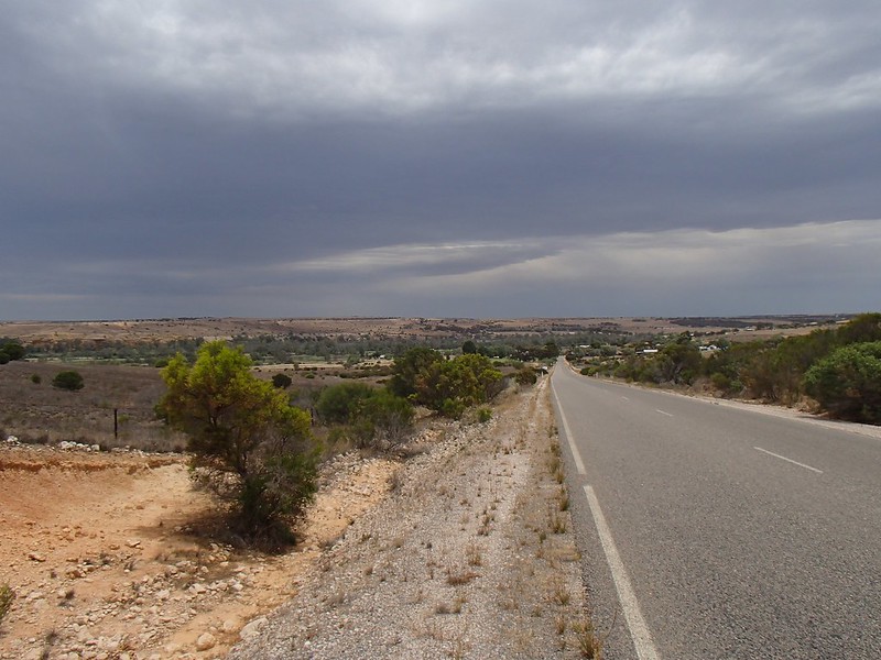


 , making keeping the bike/swag running straight quite difficult, and making my helmet bloody noisy as my left earplug had come loose.